No opening hours or admission are shown: the sources we checked on 2026-09-13 were used for the route only. Check the official site
Our guide
Rebun Island lies in the Sea of Japan about 50 km off the north-western tip of Hokkaido, and about 10 km north-west of Rishiri Island, across the Rebun Channel. It is 29 km long north to south and 8 km wide, covering about 80 km², and its highest point is Mount Rebun, 490 m. It is known for its alpine flowers and for the 8-Hour Hiking Course, which runs the length of the island from north to south and can be split into two 4-hour courses. There is also a chashi, an Ainu hilltop fortification.
Our checked record says the Heart Land Ferry runs from Wakkanai Port to Kafuka Port on Rebun, with ferries also linking Rebun and Oshidomari on Rishiri. Getting to Wakkanai and the journey times are in “Plan your visit” below.
Written by japan-spots.com (2026-09-22) from the sources credited on this page. Distances are straight lines between map positions.
Photos
Photos from Wikimedia Commons, each under its own licence — see credits
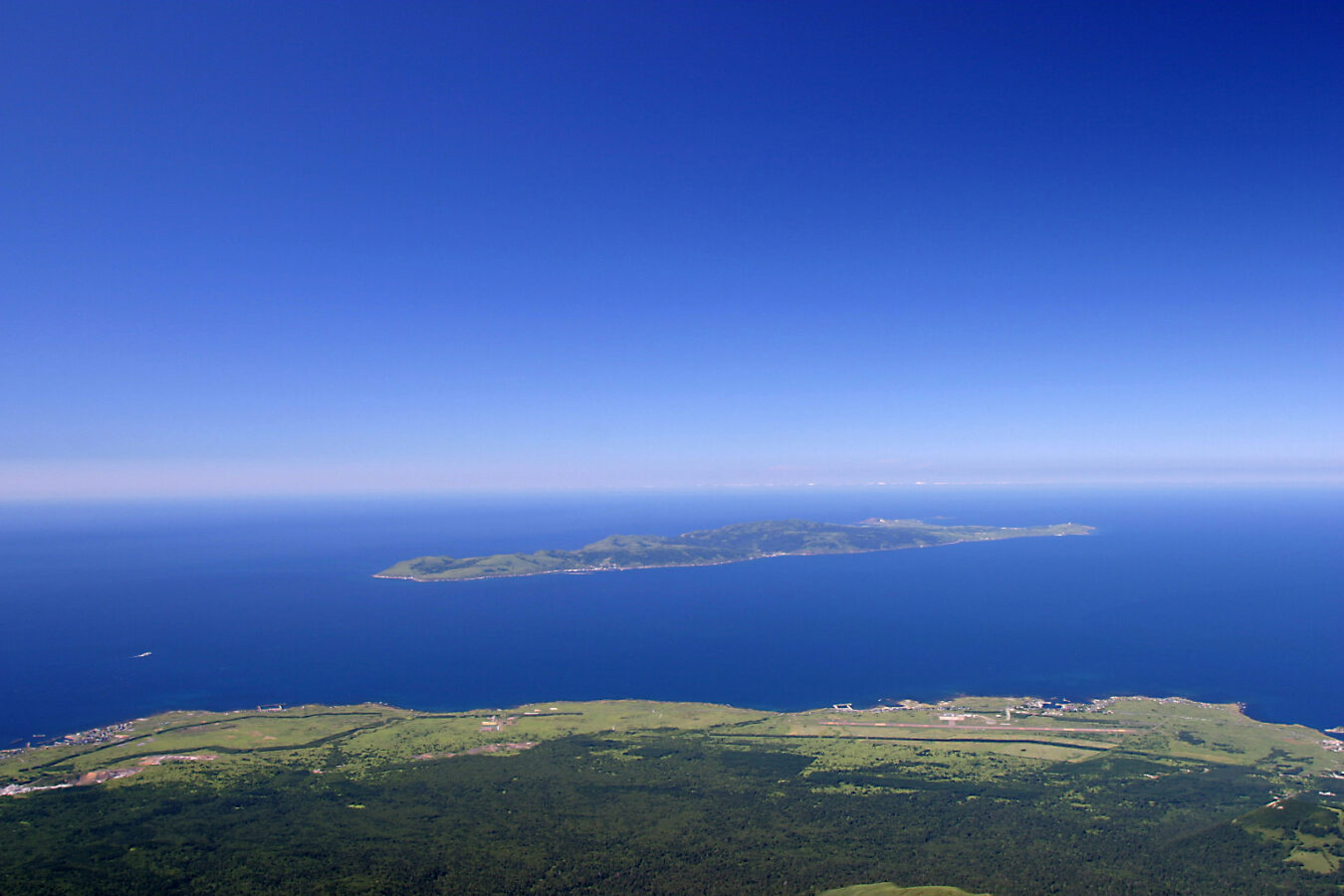
- Rebun island seen from Rishiri island — The original uploader was Payoka at Japanese Wikipedia . · CC BY-SA 3.0 · source · resized
- Rebun-Island 礼文島元地漁港IMG 2281 — 松岡明芳 · CC BY-SA 3.0 · source · resized
- 130726 Cape Gorota in Rebun Island Hokkaido Japan01s5 — 663highland · CC BY 2.5 · source · resized
- Rebun Island Banner — Ka23 13 · CC BY-SA 4.0 · source · resized
- Rebun Island (7805402080) — hoge asdf · CC BY 2.0 · source · resized
- Rebun Island 20140814 — Suicasmo · CC BY-SA 4.0 · source · resized
- Rebun Island 20140814-4 — Suicasmo · CC BY-SA 4.0 · source · resized
- Rebun Island 20140814-3 — Suicasmo · CC BY-SA 4.0 · source · resized
- Rebun Island 20140814-6 — Suicasmo · CC BY-SA 4.0 · source · resized
What this place is
Rebun Island (礼文島, Rebun-tō; Ainu: Repun) is an island in the Sea of Japan off the northwestern tip of Hokkaidō, Japan. The island sits 50 kilometres (31 mi) off the coast of Hokkaidō.Rebun stretches 29 kilometres (18 mi) from north to south and 8 kilometres (5.0 mi) from east to west. The island covers approximately 80 square kilometres (31 mi2). Rebun Island is located 10 kilometres (6.2 mi) northwest of Rishiri Island, and the two islands are separated by the Rebun Channel. Rebun Island is known for its alpine flowers and the 8-Hour Hiking Course which runs from one end of the island to the other, north to south. The hiking course can be broken into two sections, known as the 4-Hour Hiking Courses. Rebun Island is home to a chashi, or hilltop fortification of the Ainu people. The highest point on the island is Mount Rebun (490 metres (1,610 ft)).
Visitor information checked: 2026-09-13 · Rebun Island Tourism Association: getting to Rebun
Background text from Wikipedia (CC BY-SA 4.0)
What to expect at this type of place: Island
Getting there by public transport
- Heart Land Ferry from the Wakkanai Port ferry terminal to Kafuka Port on Rebun (ferries also link Rebun with Oshidomari on Rishiri).
- To reach Wakkanai: flights from Haneda (about 1 hour 50 minutes) or New Chitose (about 55 minutes); JR from Sapporo about 5 hours 30 minutes; Sōya Bus from Sapporo about 5 hours 50 minutes.
Route checked: 2026-09-13 · Rebun Island Tourism Association: getting to Rebun · Timetables change — check the operator before you travel.
Traveler reviews
No reviews yet — be the first to share how it went.