No opening hours or admission are shown: the sources we checked on 2026-09-14 were used for the route only. Check the official site
Our guide
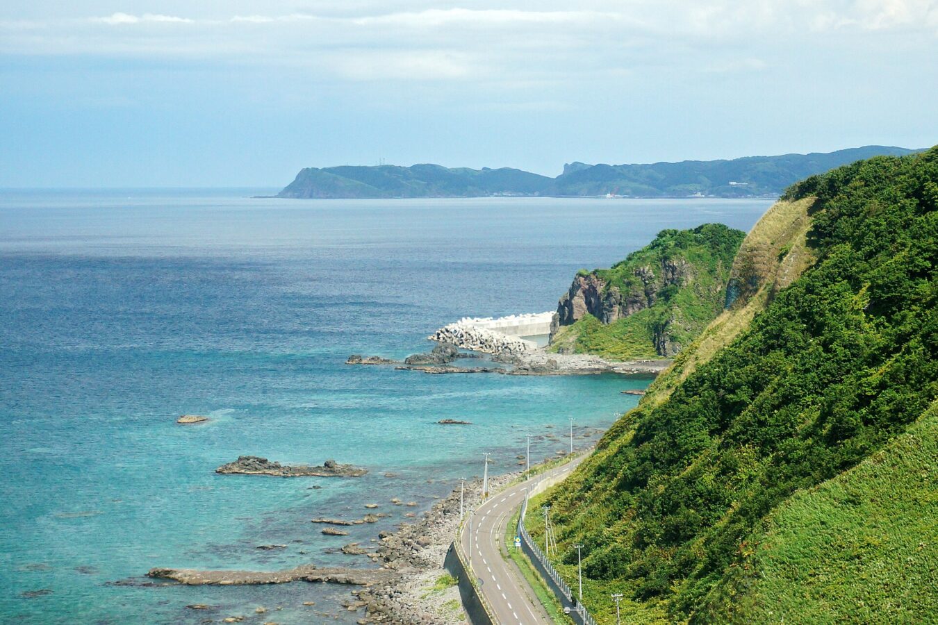
The Shakotan Peninsula, in Shiribeshi on the west coast of Hokkaido, is a mountainous peninsula reaching about 30 km into the Sea of Japan. It is part of Niseko-Shakotan-Otaru Kaigan Quasi-National Park.
Our checked record says to take the Hokkaido Chūō Bus Shakotan Line from Otaru to Bikuni, where Shakotan Town's Shako Bus connects for the Shimamui Coast, Shakotan Yobetsu and Cape Kamui — about 700 m from the point this page is mapped to. That timetable runs from 1 April to 30 November 2026, and some Shako Bus trips run only if booked by phone the day before; see “Plan your visit” below.
Written by japan-spots.com (2026-09-22) from the sources credited on this page. Distances are straight lines between map positions.
Photos
Photos from Wikimedia Commons, each under its own licence — see credits
- 130823 Cape Shakotan Shakotan Hokkaido Japan01s3 — 663highland · CC BY 2.5 · source · resized
- 130823 Cape Kamui Shakotan Hokkaido Japan02s3 — 663highland · CC BY 2.5 · source · resized
- Siripa-misaki7020429 — 我路・幌内画像倉庫 · CC BY-SA 3.0 · source · resized
- Shimadomari-Fishing port 島泊漁港7030107 — 我路・幌内画像倉庫 · CC BY-SA 3.0 · source · resized
- 島武意海岸(Shimamui beach, Shyakotan) - panoramio — pakku · CC BY 3.0 · source · resized
- 積丹半島2 - panoramio — senryuto · CC BY 3.0 · source · resized
- Shakotan/積丹半島 - panoramio — T DMY · CC BY 3.0 · source · resized
What this place is
The Shakotan Peninsula (積丹半島, Shakotan hantō) in Shiribeshi, on the west coast of Hokkaido, Japan, is a mountainous peninsula which projects some 30 kilometres (19 mi) into the Sea of Japan. The Shakotan Peninsula forms part of the Niseko-Shakotan-Otaru Kaigan Quasi-National Park.
Visitor information checked: 2026-09-14 · Shakotan Town: Shako Bus summer timetable 2026 (PDF)
Background text from Wikipedia (CC BY-SA 4.0)
What to expect at this type of place: Coast
Getting there by public transport
- Take the Hokkaido Chūō Bus Shakotan Line from Otaru to Bikuni Terminal, where Shakotan Town’s Shako Bus connects for Shimamui Coast, Shakotan Yobetsu and Cape Kamui (timetable valid 1 April–30 November 2026).
- Some Shako Bus trips run only when booked by phone by 17:00 the previous day; booked trips can be used by anyone.
Route checked: 2026-09-14 · Shakotan Town: Shako Bus summer timetable 2026 (PDF) · Timetables change — check the operator before you travel.
Traveler reviews
No reviews yet — be the first to share how it went.