Opening hours and admission for this place have not been checked yet, so none are shown. Check the official site
Our guide
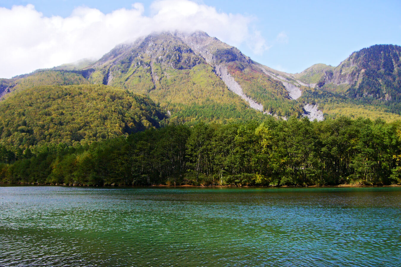
Mount Yake, “the burning mountain”, is an active volcano in the Hida Mountains, between Matsumoto in Nagano and Takayama in Gifu. It is one of the 100 Famous Japanese Mountains, 2,455 m at its highest point.
As an active volcano, check current volcanic warnings, trails and the weather before you go; we have not checked them.
Written by japan-spots.com (2026-09-22) from the sources credited on this page. Distances are straight lines between map positions.
Photos
Photos from Wikimedia Commons, each under its own licence — see credits
- Yakedake01s2010 — 663highland · CC BY 2.5 · source · resized
- Mount Kasumisawa and Kamikochi from Mount Yake 2002-8-6 — alpsdake · CC0 · source · resized
- Mount Kasa from Mount Yake 2011-07-06 — Alpsdake · CC BY-SA 3.0 · source · resized
- Mount Hotaka from Mount Yake 2002-8-6 — alpsdake · CC0 · source · resized
- Kamikochi from Mount Yake 2002-08-06 — Alpsdake · CC0 · source · resized
- Huts Yakedake from south 2002-8-6 — Alpsdake · CC0 · source · resized
What this place is
Mount Yake (焼岳, Yake-dake) literally, "Burning mountain" is an active volcano in the Hida Mountains, lying between Matsumoto, Nagano Prefecture, and Takayama, Gifu Prefecture, Japan. It is one of the 100 Famous Japanese Mountains, reaching 2,455 m (8,054 ft) at the highest peak.
Background text from Wikipedia (CC BY-SA 4.0)
What to expect at this type of place: Mountain
Getting there
We do not have step-by-step transit directions for this spot yet. Open the location on Google Maps for routes from where you are staying.
Traveler reviews
No reviews yet — be the first to share how it went.