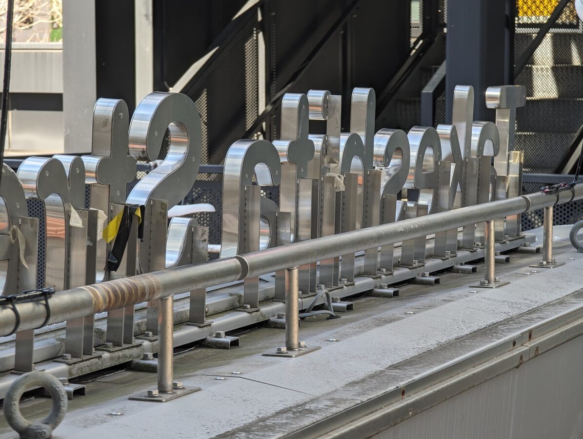
Takeshita Street (Harajuku)
竹下通り
A shopping street where browsing is the point, not just buying.
Opening hours and admission for this place have not been checked yet, so none are shown. Check the official site
Photos
Photos from Wikimedia Commons, each under its own licence — see credits
- Untitled — Syced · CC0 · source · resized
- Untitled — Joe Mabel on Flickr as Joe Mabel from Seattle, US · CC BY-SA 3.0 · source · resized
- Untitled — Joe Mabel on Flickr as Joe Mabel from Seattle, US · CC BY-SA 3.0 · source · resized
- Untitled — Joe Mabel on Flickr as Joe Mabel from Seattle, US · CC BY-SA 3.0 · source · resized
- Untitled — Joe Mabel on Flickr as Joe Mabel from Seattle, US · CC BY-SA 3.0 · source · resized
- Untitled — Joe Mabel on Flickr as Joe Mabel from Seattle, US · CC BY-SA 3.0 · source · resized
- Untitled — Joe Mabel on Flickr as Joe Mabel from Seattle, US · CC BY-SA 3.0 · source · resized
- Untitled — Joe Mabel on Flickr as Joe Mabel from Seattle, US · CC BY-SA 3.0 · source · resized
- Untitled — Joe Mabel on Flickr as Joe Mabel from Seattle, US · CC BY-SA 3.0 · source · resized
- Untitled — Joe Mabel on Flickr as Joe Mabel from Seattle, US · CC BY-SA 3.0 · source · resized
What this place is
Takeshita Street is a shopping street in Harajuku, in the Jingūmae district of Shibuya, Tokyo. About 350 metres long, it runs gently downhill from Harajuku Station towards Meiji-dōri and is closed to traffic every day from 11:00 to 18:00. Most of its shops are small boutiques selling bold fashion for young people, alongside crêpe stands that have become a symbol of the street since the late 1970s. Known worldwide as a home of Harajuku's “kawaii” culture, it is busiest at weekends and in school holidays and draws school trips and visitors from abroad.
Background text translated from Japanese Wikipedia (CC BY-SA 4.0)
What to expect at this type of place: Shopping
Nearby station
Nearby station: Harajuku (Yamanote Line), about 200 m from the spot in a straight line.
Worked out on 2026-09-14 from this place’s map position, using HeartRails Express station data and station names from Wikidata. The distance is a straight line, not a walking route, and says nothing about buses, transfers or timetables — plan the trip on Google Maps.
Traveler reviews
No reviews yet — be the first to share how it went.