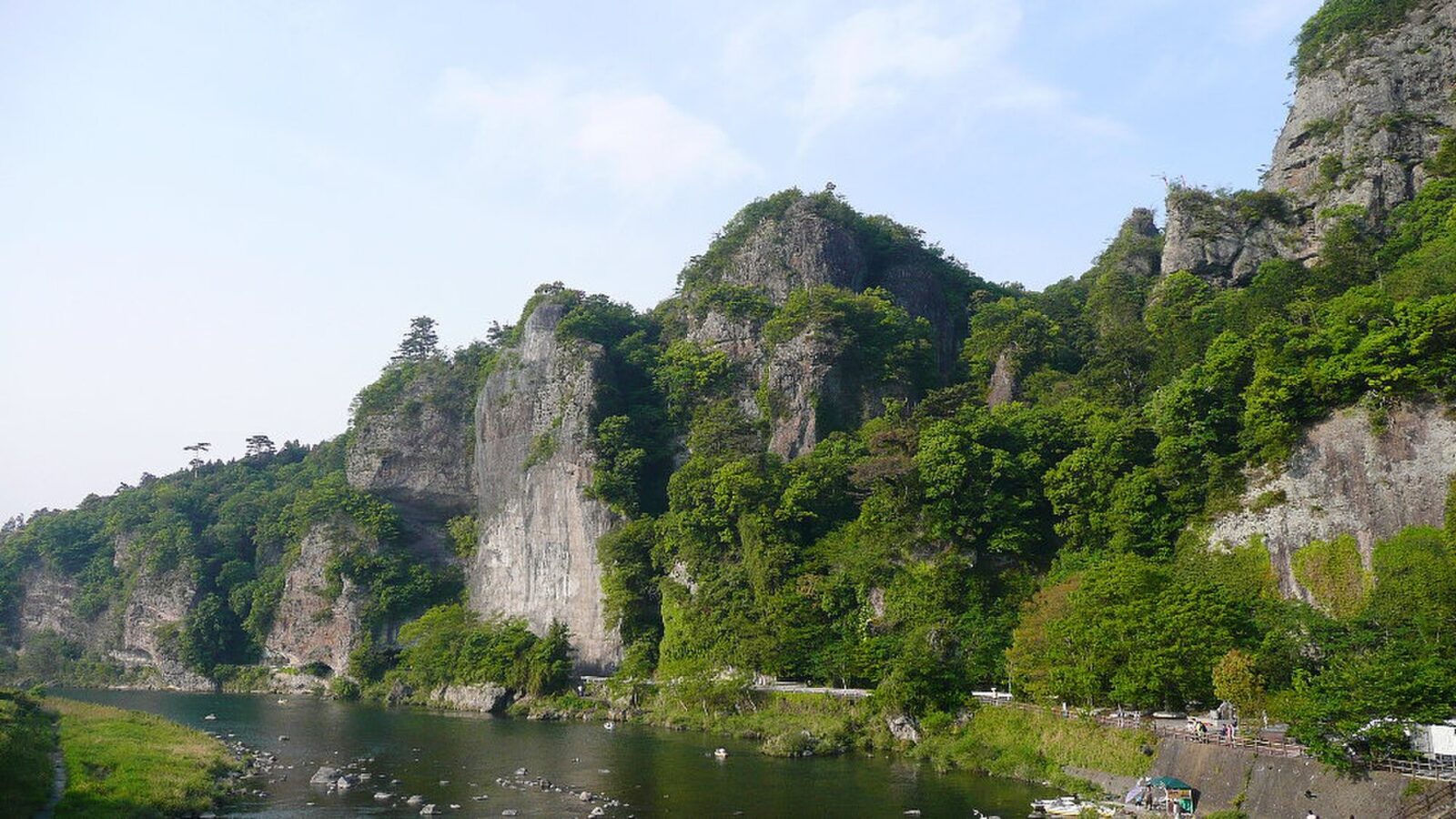
Yaba-Hita-Hikosan Quasi-National Park
耶馬日田英彦山国定公園
A park across three prefectures: choose your area before planning the route.
Usual hours and prices, checked 2026-09-12 against the sources under “What this place is”. They can change for holidays and events — confirm before you go. Official site
Our guide
Yaba-Hita-Hikosan Quasi-National Park is a large park spanning Fukuoka, Ōita and Kumamoto, taking in the Hikosan area, where Hikosan Jingū stands, the Yabakei gorges, Hita and Tsuetate. There is no single arrival station for the whole park, so choose an area before planning transport.
Our checked record gives one example: for Tsuetate Onsen in Kumamoto, travel via JR Hita and a Tsuetate-bound Hita Bus; see “Plan your visit” below and check the operator's current timetable. Seasons, fees and hours depend on the area and facility.
Written by japan-spots.com (2026-09-22) from the sources credited on this page. Distances are straight lines between map positions.
Photos
Photos from Wikimedia Commons, each under its own licence — see credits
- Kyoshuho — UE-PON2600 · CC BY-SA 3.0 · source · resized
- 英彦山神宮上津宮 — 宗教法人英彦山神宮 · CC BY-SA 4.0 · source · resized
- Yabakei bridge — From Japanese website: http://www45.tok2.com/home/todo94/trip/flight2004ohita.htm · CC BY-SA 3.0 · source · resized
- Yabakei Hitome-Hakkei panoramic photography 2014 — PekePON · CC BY-SA 4.0 · source · resized
- Mikuma River — Mukai · CC BY-SA 4.0 · source · resized
- Ao no Domon tunnel 2 — Uploaded to wikipedia by UE-PON on 03 May 2007 and upload to commons by STA3816 on 12 June 2010. · CC BY-SA 3.0 · source · resized
- Japan Oita Hita Ayuyana — Original uploader was Bobo12345 at en.wikipedia · Public domain · source · resized
- Old street of Kuma uo street Hita oita japan2 — Mukai · Public domain · source · resized
- Mikuma River and Hita Onsen — STA3816 · CC BY 3.0 · source · resized
What this place is
This large park spans Fukuoka, Oita and Kumamoto, including Hikosan, Yabakei, Hita and Tsuetate. Choose an area before planning transport: there is no single arrival station for the whole park.
Visitor information checked: 2026-09-12 · Ministry of the Environment: park extent · Tsuetate Onsen Tourism Association: access · Hita Bus: route map
What to expect at this type of place: National park
Getting there by public transport
- Routes depend on the area.
- For Tsuetate Onsen in Kumamoto, travel via JR Hita and a Tsuetate-bound Hita Bus.
- Check the operator’s current timetable.
Route checked: 2026-09-12 · Ministry of the Environment: park extent · Tsuetate Onsen Tourism Association: access · Hita Bus: route map · Timetables change — check the operator before you travel.
Traveler reviews
No reviews yet — be the first to share how it went.