Opening hours and admission for this place have not been checked yet, so none are shown. Check the official site
Our guide
The Itoshima Peninsula juts into the Genkai Sea in north-western Fukuoka, between Imajuku in Nishi Ward, Fukuoka, and Kafuri in Itoshima. It was formed when sediment carried by the Zuibaiji and Raizan rivers joined what were once islands in the north to the Raizan mountains in the south.
Chikuzen-Maebaru Station is about 350 m from the point this page is mapped to. We have not checked buses on the peninsula, so look for local information before you go.
Written by japan-spots.com (2026-09-22) from the sources credited on this page. Distances are straight lines between map positions.
Photos
Photos from Wikimedia Commons, each under its own licence — see credits
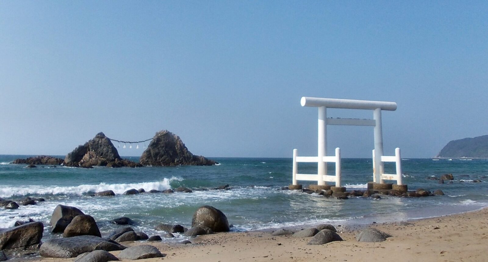
- Sakurai Futamigaura — STA3816 · CC BY-SA 3.0 · source · resized
- Mount Haganeyama from Fukuoka Prefectural Road No.572 near Kafuri Station — そらみみ · CC BY-SA 4.0 · source · resized
- 糸島二見ヶ浦と小呂島 — 淤能碁呂太郎 · CC BY-SA 4.0 · source · resized
- 東・正八幡宮(糸島市) — C2revenge · CC BY-SA 4.0 · source · resized
What this place is
The Itoshima Peninsula (糸島半島) is a peninsula in north-western Fukuoka Prefecture that juts into the Genkai Sea, between Imajuku in Nishi-ku, Fukuoka, and Kafuri in Itoshima. It was formed when sediment from the Zuibaiji and Raizan rivers joined former islands in the north to the Raizan mountains in the south.
Background text translated from Japanese Wikipedia (CC BY-SA 4.0)
What to expect at this type of place: Coast
Nearby station
Nearby station: Chikuzen-Maebaru, about 350 m from the spot in a straight line.
Worked out on 2026-09-14 from this place’s map position, using HeartRails Express station data and station names from Wikidata. The distance is a straight line, not a walking route, and says nothing about buses, transfers or timetables — plan the trip on Google Maps.
Traveler reviews
No reviews yet — be the first to share how it went.