Tateyama Kurobe Alpine Route
立山黒部アルペンルート
Usual hours and prices, checked 2026-10-04 against the sources under “What this place is”. They can change for holidays and events — confirm before you go. Official site
Our guide
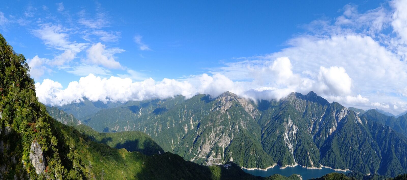
The Tateyama Kurobe Alpine Route is a mountain sightseeing route through the Hida Mountains between Tateyama in Toyama and Ōmachi in Nagano. Opened on 1 June 1971, it runs for 37 km and climbs and drops as much as 1,975 m along the way, past Mount Tate, walking trails and Kurobe Dam, the largest dam in Japan. Some of its stations have hotels and serve as bases for climbing and trekking, and on a clear day you can see Mount Fuji from the top.
It is a through route, so plan which end you start from and where you will be at the end of the day. Mount Tate is about 2.1 km from the point this page is mapped to. We have not checked the season it operates, fares or timetables, so check the route's own information before you go.
Written by japan-spots.com (2026-09-22) from the sources credited on this page. Distances are straight lines between map positions.
Photos
Photos from Wikimedia Commons, each under its own licence — see credits
- DaikanboView — Ippukucho · CC BY 3.0 · source · resized
- 20090503yukinoohtani02 — Uryah · CC BY-SA 3.0 · source · resized
- 20 Tateyama from Mikurigaike 1998-7-17 — Alpsdake · Public domain · source · resized
- Bijodaira03nt3200 — 663highland · CC BY 2.5 · source · resized
- Inside Tateyama Tunnel, passing trolleybus — つだ from Tsushima, Aichi, Japan · CC BY-SA 2.0 · source · resized
- Kurobe-daira04s4592 — 663highland · CC BY 2.5 · source · resized
- KurobeCablecarInterchange — Ippukucho · CC BY 3.0 · source · resized
- KurobeDamObservatoryFromOtherside — Ippukucho · CC BY 3.0 · source · resized
What this place is
The Tateyama Kurobe Alpine Route (立山黒部アルペンルート, Tateyama Kurobe Arupen Rūto) is a mountain sightseeing route between Tateyama, Toyama and Ōmachi, Nagano, Japan. Opened on June 1, 1971, it is 37 kilometres (23 miles) long, with a difference in elevation of as much as 1,975 metres (6,480 feet). The Alpine Route goes through Tateyama (Mt. Tate) in the Hida Mountains with many scenic sites as well as walking trails, including Japan's largest dam, Kurobe Dam. Some stations have hotels around them and are used as bases for mountain climbing or trekking. From the top of the mountain, it is possible to see Mount Fuji on a clear day.
Visitor information checked: 2026-10-04 · Official visiting information
Background text from Wikipedia (CC BY-SA 4.0)
What to expect at this type of place: Mountain
Getting there
We do not have step-by-step transit directions for this spot yet. Open the location on Google Maps for routes from where you are staying.
Traveler reviews
No reviews yet — be the first to share how it went.