Opening hours and admission for this place have not been checked yet, so none are shown. Check the official site
Our guide
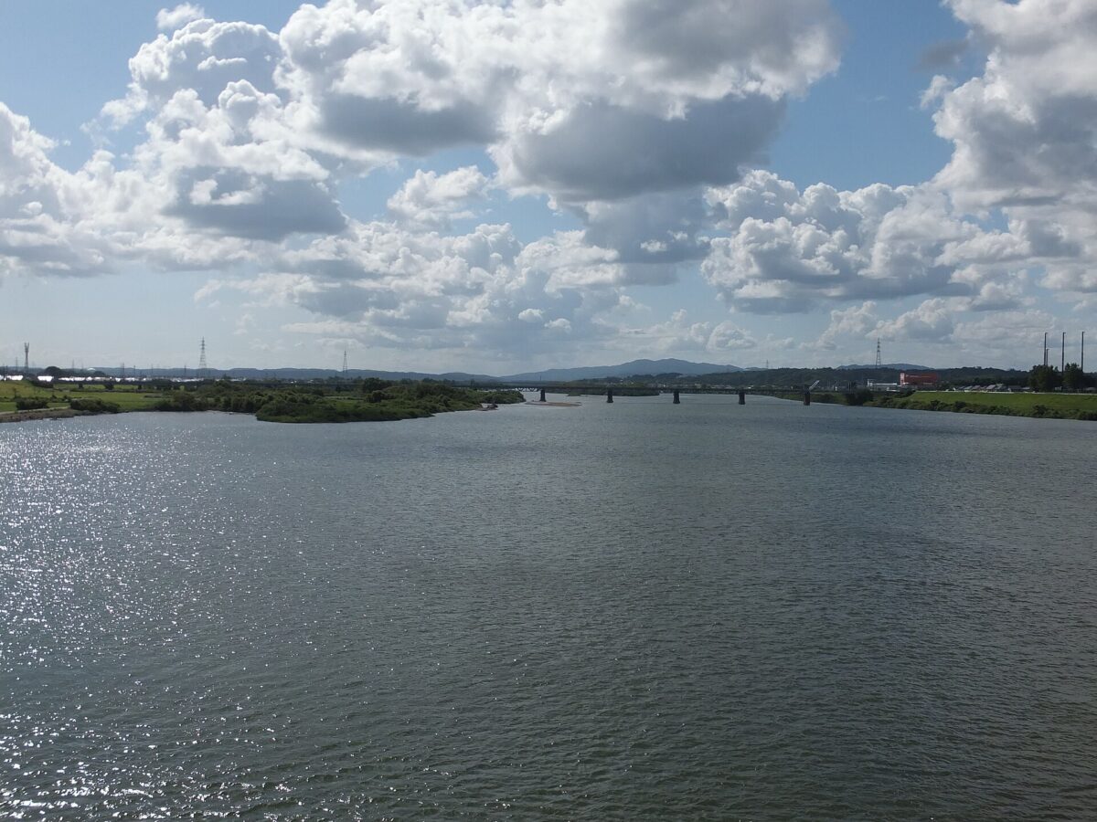
The Omono River rises on Mount Daisen, on Akita's border with Miyagi and Yamagata in the city of Yuzawa, and flows into the Sea of Japan at the city of Akita. Its basin covers essentially the whole southern half of Akita Prefecture, and it has no dams along its entire length. It is classed as a first-class river.
Akita Omoriyama Zoo is about 2.6 km from the point this page is mapped to. We have not checked river cruises or other ways to see it, so look for local information before you go.
Written by japan-spots.com (2026-09-22) from the sources credited on this page. Distances are straight lines between map positions.
Photos
Photos from Wikimedia Commons, each under its own licence — see credits
- Omono River from Akita-ohashi — 掬茶 · CC BY-SA 3.0 · source · resized
- 雄物川 — Hige-hige-Japan · CC BY-SA 4.0 · source · resized
- 太平山と雄物川 — Hige-hige-Japan · CC BY-SA 4.0 · source · resized
- Zyuubuitizawa-river — MWE · CC BY 4.0 · source · resized
- OmonogawaBridge — ALVE · CC BY-SA 3.0 · source · resized
- Minamizawa-river — MWE · CC BY 4.0 · source · resized
- Mouth of the Omono River — 掬茶 · CC BY-SA 3.0 · source · resized
- Omono River from Omono O-hashi Bridge — 掬茶 · CC BY-SA 3.0 · source · resized
- Omono River at south side of the Akita-Ohashi Bridge — 掬茶 · CC BY-SA 3.0 · source · resized
- Omono River with Mount Taihei — 掬茶 · CC BY-SA 3.0 · source · resized
What this place is
The Omono River (雄物川, Omono-gawa) is located in Akita Prefecture, Japan. The river flows from Mount Daisen on the border of Akita Prefecture with Miyagi and Yamagata Prefectures in the city of Yuzawa and drains into the Sea of Japan at the city of Akita. The river's drainage basin is essentially the entire southern half of Akita Prefecture. The river is free of dams for its entire length. It is regarded as a "first class river" in the Japanese river classification system.
Background text from Wikipedia (CC BY-SA 4.0)
What to expect at this type of place: Lakes & falls
Getting there
We do not have step-by-step transit directions for this spot yet. Open the location on Google Maps for routes from where you are staying.
Traveler reviews
No reviews yet — be the first to share how it went.