Opening hours and admission for this place have not been checked yet, so none are shown. Check the official site
Our guide
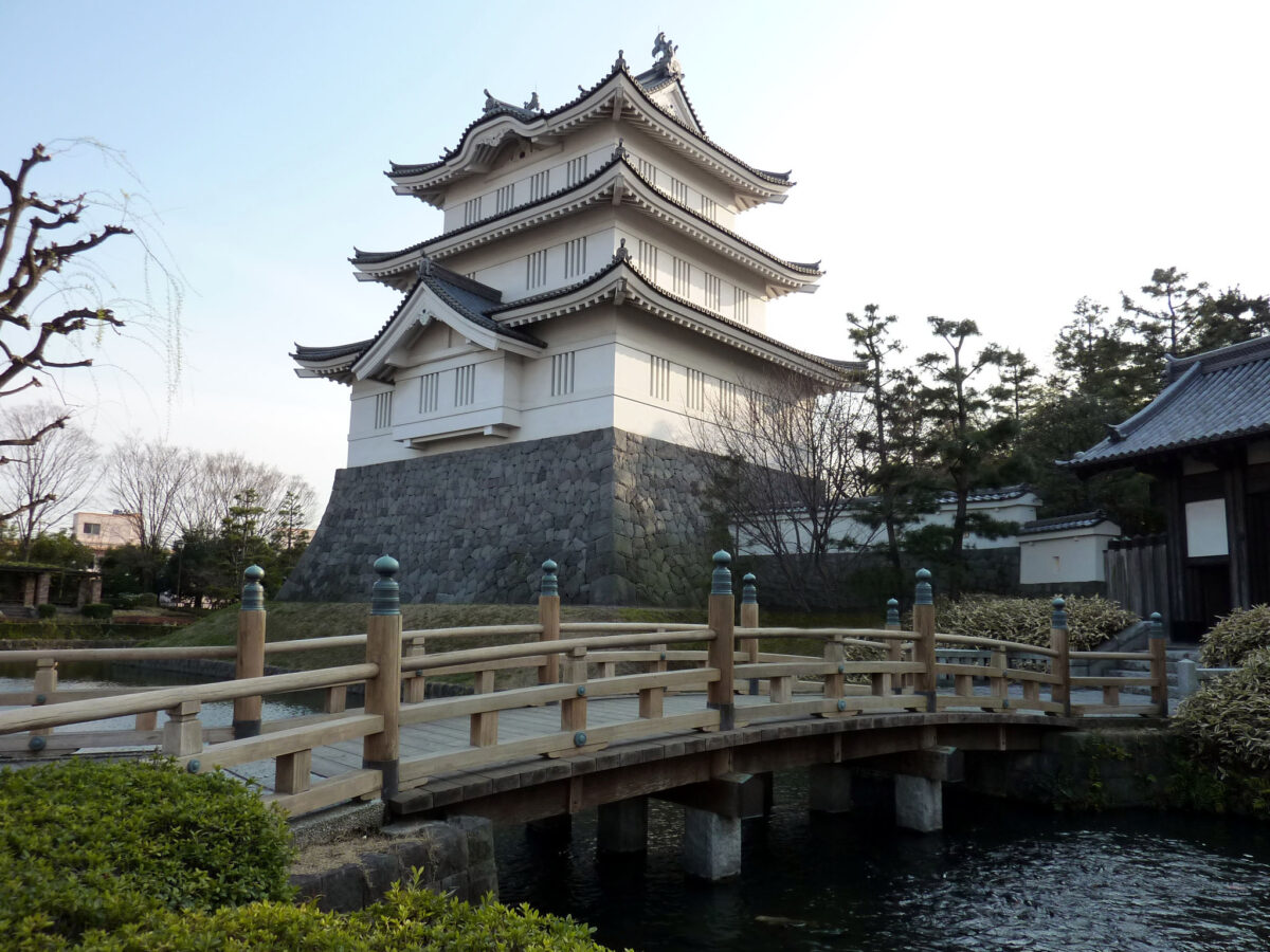
Oshi Castle in Gyōda, Saitama, was the centre of the 100,000-koku Oshi Domain in the Edo period, but it is far better known for the siege of Oshi in the late Sengoku period. It was also called the Turtle Castle and “the Floating Castle of Oshi”, and was counted among the seven main strongholds of the Kantō region.
Gyōdashi Station on the Chichibu Main Line is about 900 m away in a straight line. We have not checked what can be visited on the site today or its hours.
Written by japan-spots.com (2026-09-22) from the sources credited on this page. Distances are straight lines between map positions.
Photos
Photos from Wikimedia Commons, each under its own licence — see credits
- Oshi-jo — Mocchy · Public domain · source · resized
- Gyoda Suijo Park 1 — 京浜にけ · CC BY-SA 3.0 · source · resized
- Gyoda Oshi Castle Remains 3 — 京浜にけ · CC BY-SA 3.0 · source · resized
- Gyoda Oshi Castle Remains 2 — 京浜にけ · CC BY-SA 3.0 · source · resized
- Gyoda Oshi Castle Remains 1 — 京浜にけ · CC BY-SA 3.0 · source · resized
- Gyoda Oshi Castle Bell Tower 1 — 京浜にけ · CC BY-SA 3.0 · source · resized
- Oshi Castle 20100723-01 — baku13 · CC BY-SA 2.1 jp · source · resized
- Oshi Castle 20100723-02 — baku13 · CC BY-SA 2.1 jp · source · resized
What this place is
Oshi Castle (忍城, Oshi-jō) is a Japanese castle located in Gyōda, Saitama Prefecture, Japan. During the Edo period, Oshi Castle was the center of the 100,000 koku Oshi Domain, but the castle is far better known for its association with the siege of Oshi during the late Sengoku period. The castle was also known as "Kama-jō" (亀城, Turtle Castle) or "Oshi-no-uki-jō" (忍の浮き城, the Floating Castle of Oshi). It was regarded as one of the seven main strongholds of the Kantō region
Background text from Wikipedia (CC BY-SA 4.0)
What to expect at this type of place: Castle
Nearby station
Nearby station: Gyōdashi (Chichibu Main Line), about 900 m from the spot in a straight line.
Worked out on 2026-09-14 from this place’s map position, using HeartRails Express station data and station names from Wikidata. The distance is a straight line, not a walking route, and says nothing about buses, transfers or timetables — plan the trip on Google Maps.
Traveler reviews
No reviews yet — be the first to share how it went.