Opening hours and admission for this place have not been checked yet, so none are shown. Check the official site
Our guide
Ōmishima is the largest island of the Geiyo Islands in the Seto Inland Sea, and the westernmost island crossed by the Nishiseto Expressway, which links Honshu and Shikoku by way of a chain of islands. Its highest peak is Washigatozan, 437 m.
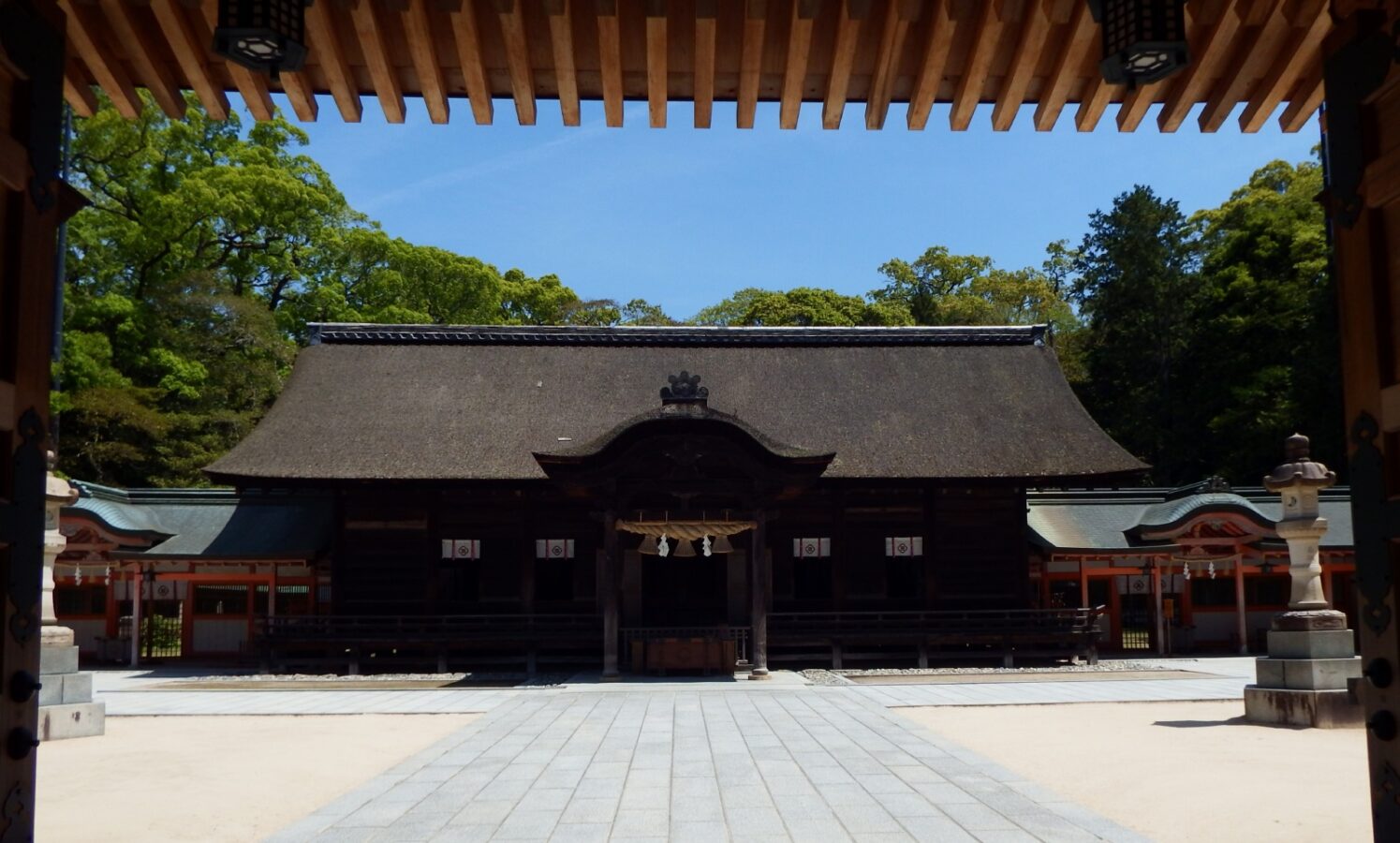
Oyamazumi Shrine is about 500 m from the point this page is mapped to. We have not checked buses or ferries on the island, so look for local information before you go.
Written by japan-spots.com (2026-09-22) from the sources credited on this page. Distances are straight lines between map positions.
Photos
Photos from Wikimedia Commons, each under its own licence — see credits
- Oomisima20210427 1 — Dokudami · CC BY-SA 4.0 · source · resized
- Tataraoohasi20210427 1 — Dokudami · CC BY-SA 4.0 · source · resized
- Oomisima20210427 4 — Dokudami · CC BY-SA 4.0 · source · resized
- Oomisima20210427 3 — Dokudami · CC BY-SA 4.0 · source · resized
- Oomisima20210427 2 — Dokudami · CC BY-SA 4.0 · source · resized
- Cape Tottori from ship of Omishima Ferry — そらみみ This photo was taken with iPhone 7 · CC BY-SA 4.0 · source · resized
- Omishima Bridge — mukarin from Tokyo, Japan · CC BY-SA 2.0 · source · resized
- Ōmishima 8 — RitikaPahwa4444 · CC BY-SA 4.0 · source · resized
What this place is
Ōmishima Island (大三島, Ōmishima) is the largest island in the Geiyo Islands chain, and the westernmost island on which Japan's Nishiseto Expressway, which links Honshu and Shikoku via a number of islands, runs. It is located in the Seto Inland Sea. The island's highest peak is Washigatozan (鷲ヶ頭山) at an altitude of 437 m (1,434 ft).
Background text from Wikipedia (CC BY-SA 4.0)
What to expect at this type of place: Island
Getting there
We do not have step-by-step transit directions for this spot yet. Open the location on Google Maps for routes from where you are staying.
Traveler reviews
No reviews yet — be the first to share how it went.