Opening hours and admission for this place have not been checked yet, so none are shown. Check the official site
Our guide
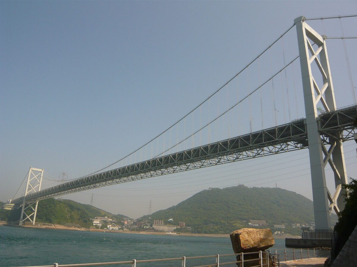
The Kanmon Straits, or Straits of Shimonoseki, are the stretch of water between Honshu and Kyushu. The name joins the two sides: “Kan” from Shimonoseki on Honshu and “mon” from Moji, now a ward of Kitakyushu, on Kyushu. The straits silt up by about 15 cm a year, and the dredged material made it possible to build Kitakyushu Airport cheaply. Western maps of the 19th century also called them the Straits of Van der Capellen.
Both shores have their own sights: Karato Market is about 1.1 km from the point this page is mapped to and Akama Jingu about 1.4 km on the Honshu side, and Mojiko Retro about 1.6 km on the Kyushu side. Mojikō Station on the Kagoshima Main Line is about 1.4 km off.
Written by japan-spots.com (2026-09-22) from the sources credited on this page. Distances are straight lines between map positions.
Photos
Photos from Wikimedia Commons, each under its own licence — see credits
- Kanmonkyo Bridge 01 — Hide-sp · CC BY-SA 3.0 · source · resized
- View from roof of Hinoyama Station (south) 4 — そらみみ · CC BY-SA 4.0 · source · resized
- Shimonoseki 20260312 062633 — Ka23 13 · CC BY 4.0 · source · resized
- Shimonoseki 15AUG2013 Yamaguchi Japan — Ka23 13 · CC BY-SA 4.0 · source · resized
- Moji 20260312 163919 — Ka23 13 · CC BY-SA 4.0 · source · resized
- KanmonStraits west 20130815 103803 — Ka23 13 · CC BY-SA 4.0 · source · resized
- KanmonStraits 20241220 153314 — Ka23 13 · CC BY 4.0 · source · resized
- Kanmon-yakei — Takasunrise0921 · CC BY-SA 3.0 · source · resized
What this place is
The Kanmon Straits (関門海峡, Kanmon-kaikyō) or the Straits of Shimonoseki is the stretch of water separating Honshu and Kyushu, two of Japan's four main islands. On the Honshu side of the strait is Shimonoseki (下関, which contributed "Kan" (関) to the name of the strait) and on the Kyushu side is Kitakyushu, whose former city and present ward, Moji (門司), gave the strait its "mon" (門). The straits silt up at the rate of about 15 centimetres per annum, and dredging has made it possible to build the Kitakyushu Airport at low cost. Western maps from the 19th century also refer to this waterway as the Straits of Van der Capellen.
Background text from Wikipedia (CC BY-SA 4.0)
What to expect at this type of place: Coast
Nearby station
Nearby station: Mojikō (Kagoshima Main Line), about 1.4 km from the spot in a straight line.
Worked out on 2026-09-14 from this place’s map position, using HeartRails Express station data and station names from Wikidata. The distance is a straight line, not a walking route, and says nothing about buses, transfers or timetables — plan the trip on Google Maps.
Traveler reviews
No reviews yet — be the first to share how it went.