Opening hours and admission for this place have not been checked yet, so none are shown. Check the official site
Our guide
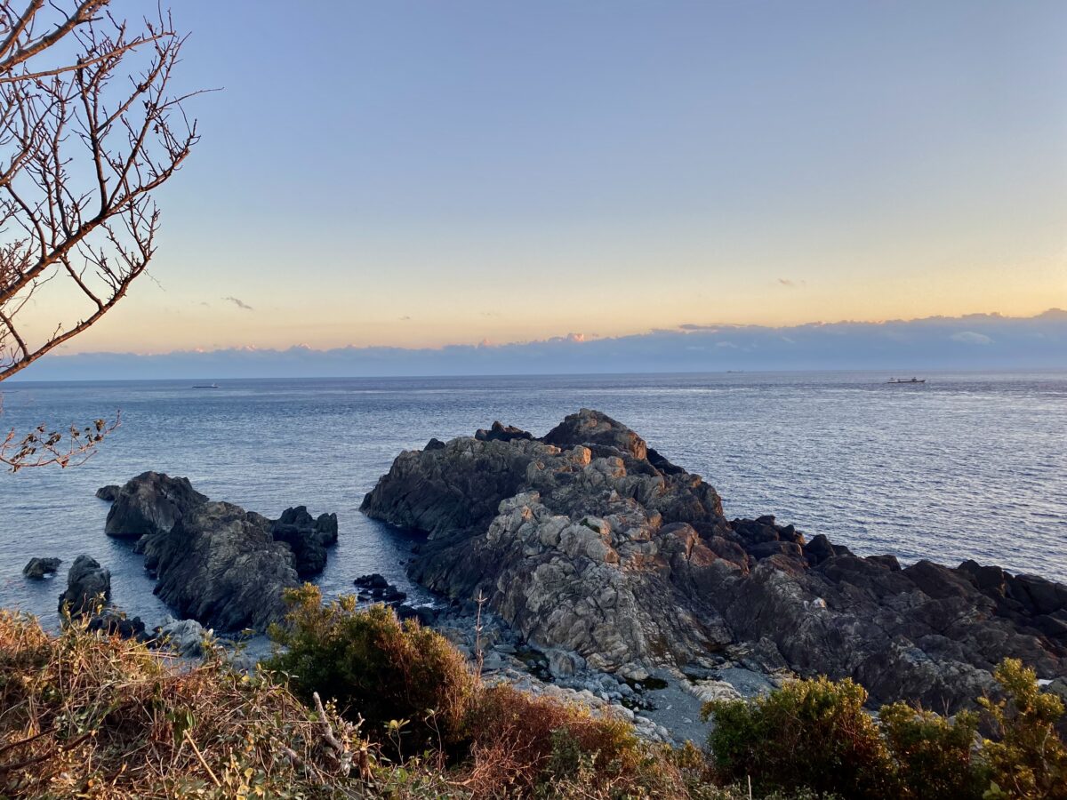
Cape Shionomisaki, in the town of Kushimoto, Wakayama, is the southernmost point of Honshu and of the prefecture, at the south of the Kii Peninsula. Much of it lies within Yoshino-Kumano National Park. Typhoons often pass here, and the cape is often used as a reference point when reporting where a typhoon is. Geologically it is a flat, raised seabed plateau 60–80 m high, made of two marine terraces, with coastal cliffs 40 m high. It was once an island, joined to the mainland by a sandbar of gravel carried by coastal currents from nearby river mouths.
Shionomisaki Lighthouse is about 900 m away. We have not checked a public-transport route.
Written by japan-spots.com (2026-09-22) from the sources credited on this page. Distances are straight lines between map positions.
Photos
Photos from Wikimedia Commons, each under its own licence — see credits
- 潮岬南端部 (クレ崎) — ほっきー · CC BY-SA 4.0 · source · resized
- 本州最南端から見た観光タワー - panoramio — Mamusi Taka · CC BY-SA 3.0 · source · resized
- ShionoMisakiView2 — Ippukucho · CC BY 3.0 · source · resized
- ShionoMisakiView — Ippukucho · CC BY 3.0 · source · resized
- Shionomisaki-lighthouse Jul2006 — BUNBUN · CC BY-SA 2.1 jp · source · resized
- Shiono Misaki and Shiono Misaki Lighthouse 20100214 — 玄史生 · CC BY-SA 3.0 · source · resized
What this place is
Cape Shionomisaki (潮岬, Shiono-misaki) is a headland located in southern Kii Peninsula in the Kansai Region of Japan. It is located within the borders of the town of Kushimoto in Wakayama Prefecture, and is the most southerly point of the island of Honshu, and Wakayama Prefecture. Much of the cape is also a part of the Yoshino-Kumano National Park. The area is subject to frequent typhoons and the cape is often used as an indicator of the location of typhoons relative to Japan. Geologically, the cape is a flat uplifted seabed plateau with an elevation of 60 to 80 meters consisting of two marine terraces, and a coastal cliff with a height of 40 meters. Originally an island, gravel from the estuary of nearby rivers is carried by coastal currents to form a sandbar, which now connects the island to land.
Background text from Wikipedia (CC BY-SA 4.0)
What to expect at this type of place: Coast
Getting there
We do not have step-by-step transit directions for this spot yet. Open the location on Google Maps for routes from where you are staying.
Traveler reviews
No reviews yet — be the first to share how it went.