Cape Sata
佐多岬
Coastline with sea air, sunset angles and a slower island tempo.
Photos
Photos from Wikimedia Commons — click any image for the photographer and licence.
What this place is
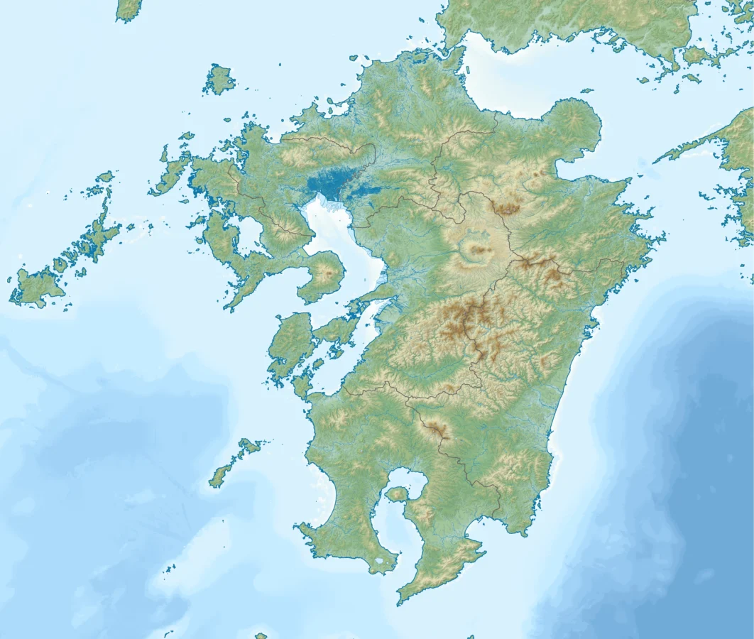
Cape Sata (佐多岬, Sata Misaki) is a cape at the southern tip of the Ōsumi Peninsula of Kyūshū island, Japan.It is the southernmost point of the island, and therefore of the overall Japanese Home Islands (Hokkaidō, Honshū, Shikoku, and Kyūshū), just south of 31 degrees latitude.It belongs to the town of Minamiōsumi, Kagoshima Prefecture.It is within the borders of the Kirishima-Kinkōwan National Park, in the town of Minamiōsumi.The area contains a Shinto shrine, the Misaki Shrine, and is also home to the Satamisaki Lighthouse built in 1871, designed by the Scotsman Richard Henry Brunton.Until October 29, 2012, the land was under the jurisdiction of a private company, which charged admission for entry to the area; however, the land was sold to the municipality of Minamiōsumi and is now free to enter.
Background text from Wikipedia (CC BY-SA)
Why it is worth the trip
- Rock formations and cliffs shaped by wind and waves, best seen when the light rakes across them.
- Long sea horizons — this stretch is known for its sunrise or sunset depending on which way the coast faces.
- Small fishing harbours nearby where the day's catch goes straight into local restaurants.
What you can do here
- Walk the shoreline path or headland trail to the main viewpoint.
- Stay for sunset; the 30 minutes after the sun drops are usually the best colour.
- Eat seafood at a harbour-side shokudo — donburi rice bowls and grilled shellfish are the standards.
- In summer, swim or try a boat trip, sea kayak or glass-bottom cruise where operated.
Getting there
We do not have step-by-step transit directions for this spot yet. Open the location on Google Maps for routes from where you are staying.
Good to know before you go
- Check tide times if you plan to walk out onto rocks or sand bars.
- Coastal wind is strong year-round; a windbreaker beats an umbrella.
- Buses along the coast can run only a few times a day — note the return time before you set out.
Traveler reviews
No reviews yet — be the first to share how it went.