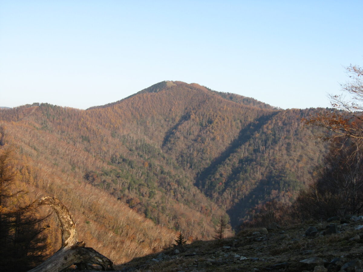
Mount Kumotori
雲取山
Opening hours and admission for this place have not been checked yet, so none are shown. Check the official site
Our guide
Mount Kumotori, 2,017 m, stands where Tokyo, Saitama and Yamanashi meet, and its summit is the highest point in Tokyo. It divides the Okutama and Okuchichibu mountains and marks the end of the Ishione ridge, Tokyo's highest ridge, which begins near JR Okutama Station. Its remote position among the peaks of both ranges makes it hard to reach. There is an emergency hut that hikers sometimes use as a shelter for the night — hikers from the city who are not used to the altitude may prefer to stay lower down — and in good weather the summit has a fine view of Mount Fuji.
This is a long mountain walk. We have not checked routes, huts or conditions, so check local information and the weather before you go.
Written by japan-spots.com (2026-09-22) from the sources credited on this page. Distances are straight lines between map positions.
Photos
Photos from Wikimedia Commons, each under its own licence — see credits
- Kumotori-nanatsuishi — Σ64 · CC BY-SA 3.0 · source · resized
- 妙法が岳からの霧藻ヶ峰・白岩山・雲取山 — Koda6029 · CC BY-SA 4.0 · source · resized
- 三条の湯 — Koda6029 · CC BY-SA 4.0 · source · resized
- 三峯神社から見た霧藻ヶ峰・白岩山・雲取山 — Koda6029 · CC BY-SA 4.0 · source · resized
- Mt Kumotori20250508 — Takaosan fukujuso · CC BY-SA 4.0 · source · resized
- Mount Kumotori User Domitori — The original uploader was Domitori at English Wikipedia . · Attribution · source · resized
- Kunotoriyama20100106 — ys-energy · Public domain · source · resized
What this place is
Mount Kumotori (雲取山, Kumotori-san) stands at the boundary of Tokyo, Saitama, and Yamanashi Prefectures on the island of Honshū, Japan. With an elevation of 2,017 metres (6,617 ft), its summit is the highest point in Tokyo. It separates the Okutama Mountains and the Okuchichibu Mountains. While it marks the end of the Ishione (石尾根) mountain ridge that begins near the JR Oku-Tama Station, the highest mountain ridge in Tokyo, its remote location amongst a group of mountains from both mountain ranges makes access difficult. Kumotori-san features an "emergency" hut sometimes used by hikers as overnight shelter. Hikers not used to the altitude (if coming from Tokyo) may prefer overnighting at a lower elevation. The top of Kumotori-san, in good weather, offers a splendid view of Mount Fuji.
Background text from Wikipedia (CC BY-SA 4.0)
What to expect at this type of place: Mountain
Getting there
We do not have step-by-step transit directions for this spot yet. Open the location on Google Maps for routes from where you are staying.
Traveler reviews
No reviews yet — be the first to share how it went.