Opening hours and admission for this place have not been checked yet, so none are shown. Check the official site
Our guide
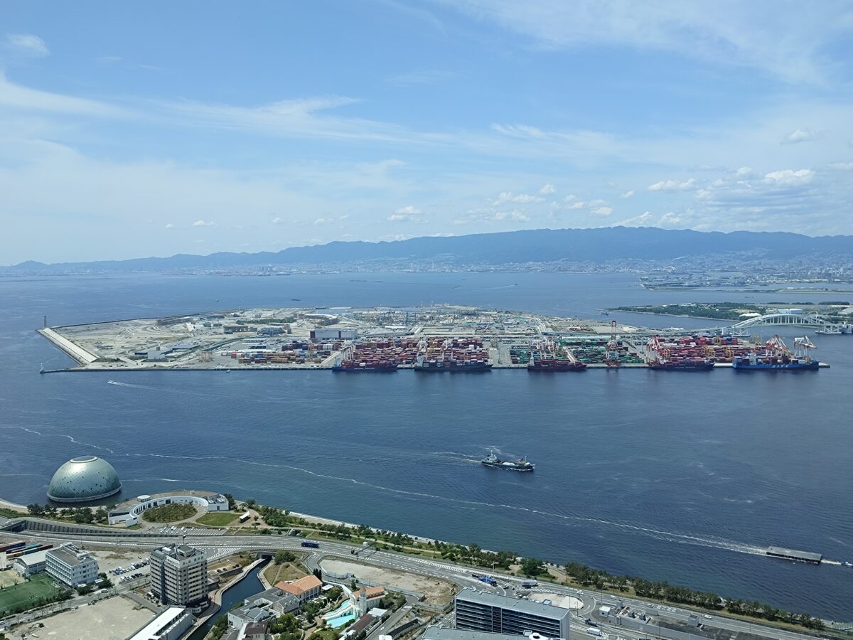
Yumeshima is an artificial island in Osaka Bay, near the mouth of the Yodo River, part of Konohana Ward. When all the reclamation is complete it will cover 390 hectares. It was the site of Expo 2025, which ran from 13 April to 13 October 2025.
Yumeshima Station is about 100 m from the point this page is mapped to. Osaka Aquarium Kaiyukan is about 3.6 km away and Universal Studios Japan about 4.2 km. We have not checked what is open on the island now that the Expo has ended.
Written by japan-spots.com (2026-09-22) from the sources credited on this page. Distances are straight lines between map positions.
Photos
Photos from Wikimedia Commons, each under its own licence — see credits
- Yumeshima 202605 — Sashimiteishoku · CC0 · source · resized
- 夢洲 — 黄犬太郎 · CC BY-SA 4.0 · source · resized
- Yumeshima Island - panoramio — Nagono · CC BY-SA 3.0 · source · resized
- Yumeshima Island - panoramio (1) — Nagono · CC BY-SA 3.0 · source · resized
- Yumeshima station — Mr.Kr.Al.Mg · CC0 · source · resized
- 大阪メトロ夢洲駅1号出入口 — NatsuTV · CC0 · source · resized
- 大阪メトロ夢洲駅改札口 — NatsuTV · CC0 · source · resized
- 大阪メトロ夢洲駅改札内 — NatsuTV · CC0 · source · resized
- 大阪メトロ夢洲駅精算機 — NatsuTV · CC0 · source · resized
- 大阪メトロ夢洲駅トイレ — NatsuTV · CC0 · source · resized
What this place is
Yumeshima (夢洲) is an artificial island in Osaka Bay. It is part of Konohana-ku (此花区), one of the 24 wards of Osaka, Japan. It is near the mouth of the Yodo River. When all the landfill is completed the total area will be 390 hectares (960 acres). It was the site of Expo 2025, a World Expo which operated from April 13 to October 13, 2025.
Background text from Wikipedia (CC BY-SA 4.0)
What to expect at this type of place: Landmark
Nearby station
Nearby station: Yumeshima (Hokkō Technoport Line), about 100 m from the spot in a straight line.
Worked out on 2026-09-14 from this place’s map position, using HeartRails Express station data and station names from Wikidata. The distance is a straight line, not a walking route, and says nothing about buses, transfers or timetables — plan the trip on Google Maps.
Traveler reviews
No reviews yet — be the first to share how it went.