Usual hours and prices, checked 2026-10-05 against the sources under “What this place is”. They can change for holidays and events — confirm before you go. Official site
Our guide
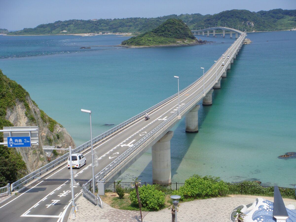
Tsunoshima Bridge in Yamaguchi is 1,780 m long and links the island of Tsunoshima to the mainland. The island itself has its own page, Tsunoshima, about 2.5 km from the point this page is mapped to.
We have not checked a public-transport route, so plan the journey on the map and look for local information before you go.
Written by japan-spots.com (2026-09-22) from the sources credited on this page. Distances are straight lines between map positions.
Photos
Photos from Wikimedia Commons, each under its own licence — see credits
- Tsunoshima Ohashi Bridge — Amy00 · CC BY-SA 3.0 · source · resized
- Tsunoshima ohashi 2017-07-29 — Project Kei · CC BY-SA 4.0 · source · resized
- Tsuno br2 — Bsx · CC BY-SA 3.0 · source · resized
- Tsuno br1 — Bsx · CC BY-SA 3.0 · source · resized
- Tsunoshima bridge 1 — Nissy-KITAQ · CC BY-SA 3.0 · source · resized
- Tsunoshima bridge 2 — Nissy-KITAQ · CC BY-SA 3.0 · source · resized
What this place is
Tsunoshima Bridge (角島大橋) is a bridge located in Yamaguchi Prefecture, Japan. The 1,780 m (5,840 ft) bridge connects the island of Tsunoshima to mainland Japan.
Visitor information checked: 2026-10-05 · 角島大橋|海に映える絶景橋【公式】山口県観光/旅行サイト おいでませ山口へ
Background text adapted from Wikipedia (CC BY-SA 4.0)
What to expect at this type of place: Coast
Getting there
We do not have step-by-step transit directions for this spot yet. Open the location on Google Maps for routes from where you are staying.
Traveler reviews
No reviews yet — be the first to share how it went.