Opening hours and admission for this place have not been checked yet, so none are shown. Check the official site
Our guide
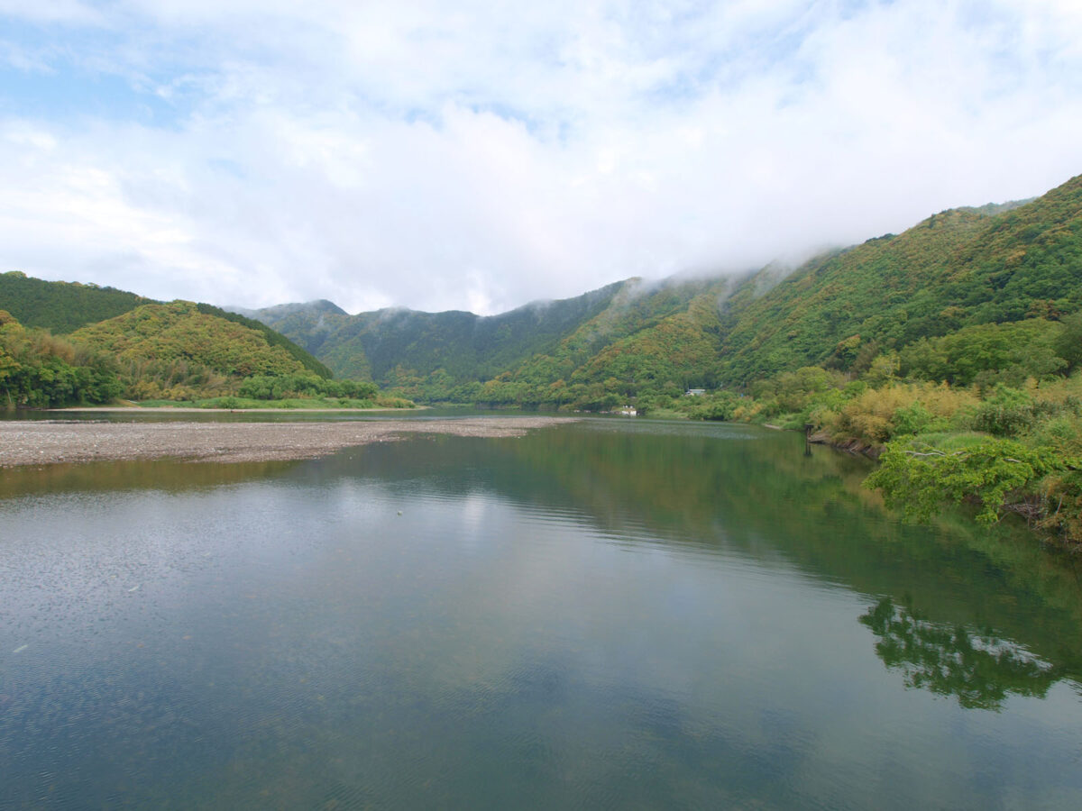
The Shimanto River is a Class A river in western Kōchi Prefecture, 196 km long with a catchment of some 2,270 km². Our source says little more than that, so this page is short, and we would rather say so than fill it out.
The river is long, so where you go matters. We have not checked particular places along it or a public-transport route, so plan the journey on the map and look for local information before you go.
Written by japan-spots.com (2026-09-22) from the sources credited on this page. Distances are straight lines between map positions.
Photos
Photos from Wikimedia Commons, each under its own licence — see credits
- Shimanto sada chinkabashi fukin — 四万十人 · CC BY-SA 3.0 · source · resized
- Iedigawa dam — Navian · Public domain · source · resized
- Shimanto-gawa bashi zenkei-3 — Saigen Jiro · CC0 · source · resized
- Shimanto-river 四万十川若井沈下橋1010070 — 松岡明芳 · CC BY-SA 3.0 · source · resized
- ShimantoRiverFromNakabaRestarea — Ippukucho · CC BY 3.0 · source · resized
- Shimanto sada chinkabashi — 四万十人 · CC BY-SA 3.0 · source · resized
- 四万十川源流の碑 — Asset utilitist · CC0 · source · resized
What this place is
The Shimanto River (四万十川, Shimanto-gawa) is a Class A river in western Kōchi Prefecture, Japan. 196 km (122 mi) in length, it has a watershed of 2,270 km2 (880 sq mi).
Background text from Wikipedia (CC BY-SA 4.0)
What to expect at this type of place: Lakes & falls
Getting there
We do not have step-by-step transit directions for this spot yet. Open the location on Google Maps for routes from where you are staying.
Traveler reviews
No reviews yet — be the first to share how it went.