Opening hours and admission for this place have not been checked yet, so none are shown. Check the official site
Our guide
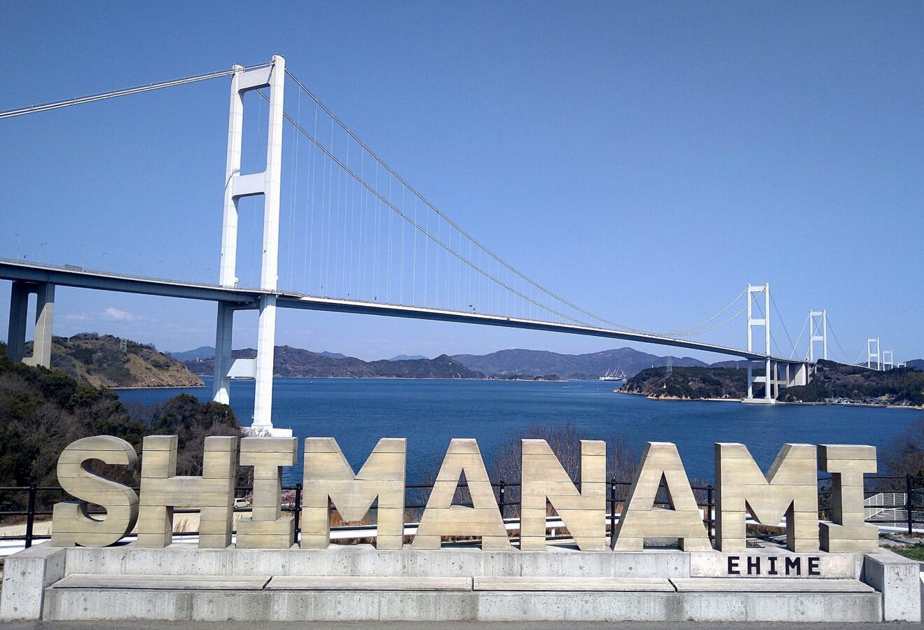
The Shimanami Kaidō — officially the Nishiseto Expressway — links Onomichi in Hiroshima with Imabari in Ehime, crossing nine of the Geiyo Islands, among them Innoshima, Ōmishima and Ōshima. It is one of the three routes of the Honshu–Shikoku Bridge Project, and its 55 bridges include the Kurushima-Kaikyō Bridge, the world's longest series of suspension bridges, and the Tatara Bridge, the fourth-longest cable-stayed bridge in the world. It is known for its views, and it can be crossed by bicycle, moped and on foot as well as by car.
This page is for the Onomichi end, about 1.2 km from Onomichi Station in a straight line; Senkō-ji is about 0.6 km away. On Ōmishima, part-way across, is Oyamazumi Shrine. We have not checked the practical details of crossing.
Written by japan-spots.com (2026-09-22) from the sources credited on this page. Distances are straight lines between map positions.
Photos
Photos from Wikimedia Commons, each under its own licence — see credits
- Shimanami kaidou 20260312 1 — Araiyasushige · CC0 · source · resized
- Ikuchi Bridge3 — 御粥 · CC BY-SA 3.0 · source · resized
- Kurushimakaikyou ohashi01 — Nkns · CC BY-SA 3.0 · source · resized
- Tatara Bridge2 — キングカワイソス · CC BY-SA 3.0 · source · resized
What this place is
The Nishiseto Expressway (西瀬戸自動車道, Nishiseto Jidōsha-dō), often called the Shimanami Kaidō (しまなみ海道), is an expressway in Japan that connects Onomichi, Hiroshima and Imabari, Ehime, going through nine of the Geiyo Islands, including Ōshima, Ōmishima, and Innoshima. The road and multiple bridges crossing across the Seto Inland Sea is one of the three main transportation links of the Honshū–Shikoku Bridge Project, constructed between the islands of Honshu and Shikoku. The expressway contains fifty-five bridges, including the Kurushima Kaikyō Bridge, the world's longest series of suspension bridges, and the Tatara Bridge, the world's fourth longest cable-stayed bridge. The route is famed for its scenic views and can be crossed by bicycles, mopeds and pedestrians as well as cars.
Background text from Wikipedia (CC BY-SA 4.0)
What to expect at this type of place: Landmark
Nearby station
Nearby station: Onomichi (San’yō Main Line), about 1.2 km from the spot in a straight line.
Worked out on 2026-09-14 from this place’s map position, using HeartRails Express station data and station names from Wikidata. The distance is a straight line, not a walking route, and says nothing about buses, transfers or timetables — plan the trip on Google Maps.
Traveler reviews
No reviews yet — be the first to share how it went.