Usual hours and prices, checked 2026-10-06 against the sources under “What this place is”. They can change for holidays and events — confirm before you go. Official site
Our guide
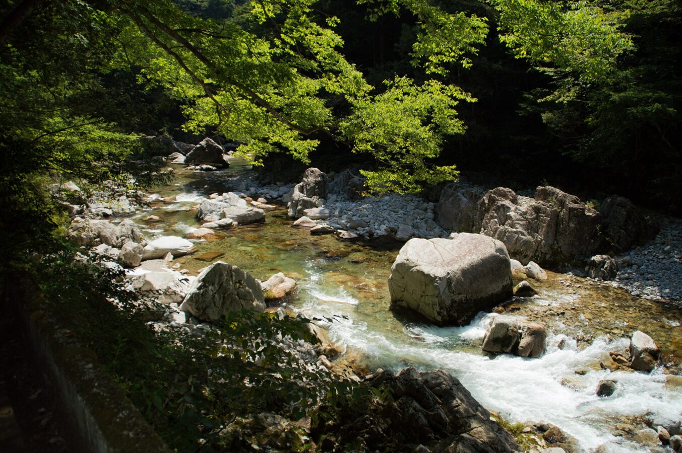
Sandan-kyō, the “three-level gorge”, is a ravine 16 km long in Akiōta, Hiroshima, within Nishi-Chūgoku Sanchi Quasi-National Park. The Shibaki River, a tributary of the Ōta River, runs through it, and it is known for its autumn colours.
We have not checked a public-transport route or the walking paths, so plan the journey on the map and look for local information before you go.
Written by japan-spots.com (2026-09-22) from the sources credited on this page. Distances are straight lines between map positions.
Photos
Photos from Wikimedia Commons, each under its own licence — see credits
- Sandankyo (9875225076) — Nobuyuki Kondo from Sendai, Miyagi, Japan · CC BY 2.0 · source · resized
- 天狗岩 DSC 0127 — Nobuyuki Kondo · CC BY 2.0 · source · resized
- 二段滝 — HKT3012 · CC BY-SA 4.0 · source · resized
- 三段滝 — HKT3012 · CC BY-SA 4.0 · source · resized
- 三段峡遊歩道 DSC 0108 — Nobuyuki Kondo · CC BY 2.0 · source · resized
- 三段峡吊り橋 — Nobuyuki Kondo · CC BY 2.0 · source · resized
- Yoshigahara — Yoshio Kohara · CC BY 3.0 · source · resized
- Sandankyo (9876729794) — Nobuyuki Kondo from Sendai, Miyagi, Japan · CC BY 2.0 · source · resized
- 三段峡 赤滝 — kagawa_ymg · CC BY 2.0 · source · resized
What this place is
Sandan-kyō (三段峡, 'three-level gorge') is a 16-kilometer long ravine in the Nishi-Chugoku Sanchi Quasi-National Park in Akiōta, Hiroshima, in southwestern Japan. Through it runs the Shibaki River, one of the Ōta River's tributaries. Sandan-kyō is known for its autumn foliage.
Visitor information checked: 2026-10-06 · Akiota Town: Sandankyo trail restrictions
Background text adapted from Wikipedia (CC BY-SA 4.0)
What to expect at this type of place: Lakes & falls
Getting there
We do not have step-by-step transit directions for this spot yet. Open the location on Google Maps for routes from where you are staying.
Traveler reviews
No reviews yet — be the first to share how it went.