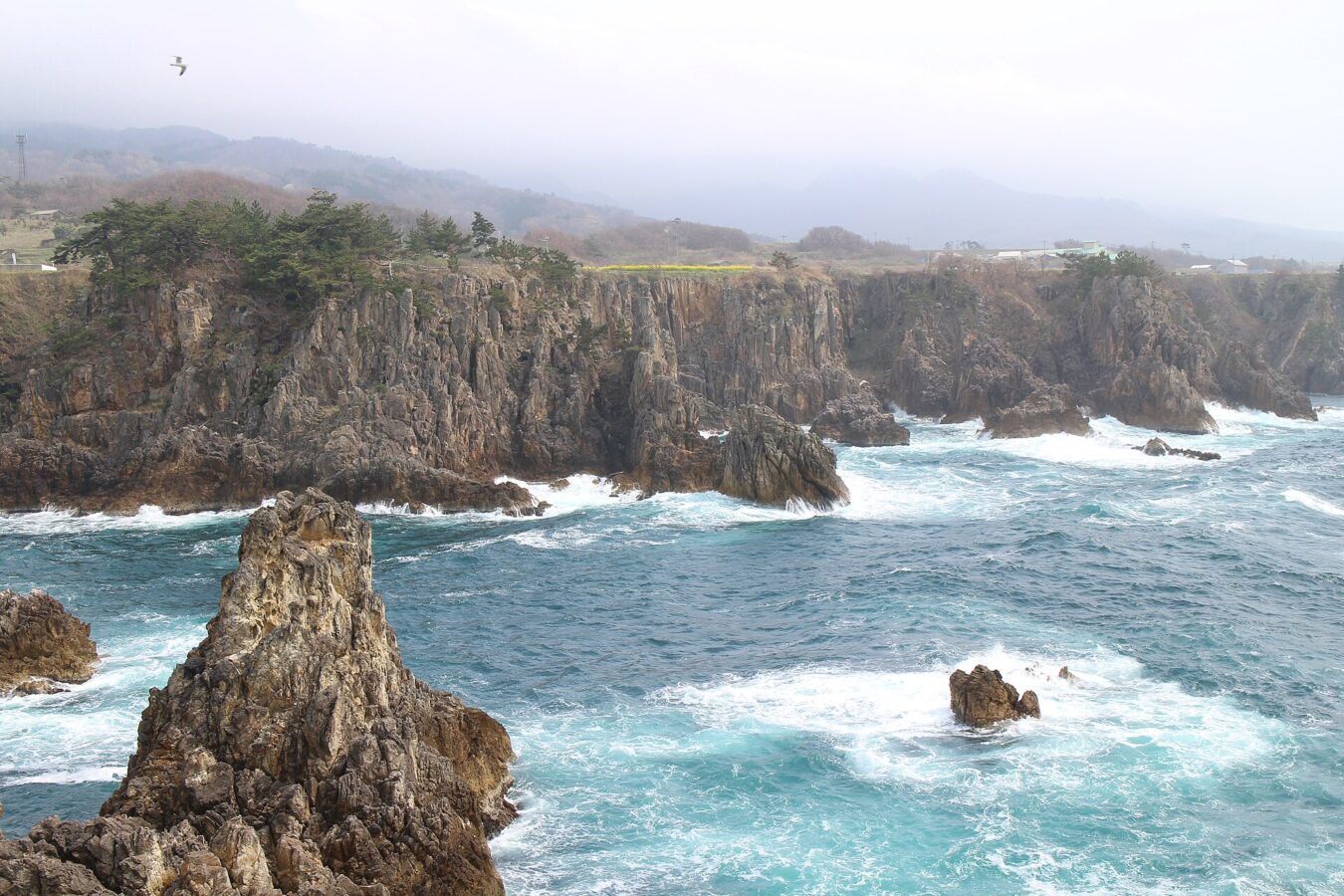
No opening hours or admission are shown: the sources we checked on 2026-09-13 were used for the route only. Check the official site
AD 🛏️ Hotels nearby on Agoda ↗ About this link
Our guide
Sado is the sixth-largest island in Japan, out in the Sea of Japan off Niigata: 854 km² with a coastline of about 263 km, and the mountain Kinpoku rising to 1,172 m. Its closest point is 32 km from Honshu, and about 55,000 people lived there in 2017.
Its mines carry a hard history. During the Second World War around 1,500 Koreans were conscripted and forced to work in the island's mines, a claim the Japanese government and some scholars dispute.
The crossing is part of planning the trip. From Niigata Port to Ryōtsu Port the car ferry takes about two and a half hours, the jetfoil about 67 minutes (only the car ferry carries cars), and there is also a car ferry from Naoetsu to Ogi. Local buses on the island are infrequent, so plan with the timetable.
Written by japan-spots.com (2026-09-22) from the sources credited on this page. Distances are straight lines between map positions.
Photos
Photos from Wikimedia Commons, each under its own licence — see credits
- Senkakuwan 20170416-2 — Suicasmo · CC BY-SA 4.0 · source · resized
- Find47 Niigata-Sado-shima island, Manjojiki-m — Roys · CC BY 4.0 · source · resized
- Kimpokusan and Kamoko — Bakkai at Japanese Wikipedia · CC BY-SA 3.0 · source · resized
- Noh Performance — Yoshiyuki Ito · CC BY-SA 3.0 · source · resized
- SadoGaShima — BehBeh at Japanese Wikipedia · CC BY-SA 3.0 · source · resized
- Sado Shukunegi — JH0WJF · Public domain · source · resized
- Sadokinzan-doyunowareto 01 — 日:Muramasa · CC BY-SA 3.0 · source · resized
What this place is
Sado Island (佐渡島, Sado(ga)shima) is an island located in the eastern part of the Sea of Japan, under the jurisdiction of Sado City, Niigata Prefecture, Japan, with a coastline of 262.7 kilometres (163.2 mi). In October 2017, Sado Island had a population of 55,212 people. Sado Island covers an area of 854.76 km2 (330.02 sq mi), and is the sixth largest island in Japan, excluding the disputed Southern Kurils. The shortest distance between Sado Island and Honshu is 32 km (20 mi). The highest peak on Sado Island is Mount Kinpoku, with an elevation of 1,172 m (3,845 ft). Sado Island was the site of forced labor during World War II, when around 1,500 Koreans were conscripted and forced to work in the mines on the island. The Japanese government, some Japanese scholars, and a minority of international scholars oppose this claim.
Visitor information checked: 2026-09-13 · Sado Tourism Navi: for first-time visitors
Background text from Wikipedia (CC BY-SA 4.0)
What to expect at this type of place: Island
Getting there by public transport
- From Niigata Port to Ryōtsu Port: car ferry about 2 hours 30 minutes, or jetfoil about 67 minutes (only the car ferry carries cars).
- Also a car ferry from Naoetsu to Ogi, about 2 hours 40 minutes.
- Reach Niigata by the Jōetsu Shinkansen and take a bus or taxi from Niigata Station to the port.
- On the island, local buses are infrequent — plan with the timetable.
Route checked: 2026-09-13 · Sado Tourism Navi: for first-time visitors · Timetables change — check the operator before you travel.
Where to stay nearby
Hotels near Sado Island (Ryotsu) on Agoda
AD Affiliate link: if you book through it, we may earn a commission from Agoda, at no extra cost to you. Hotels, prices and availability are Agoda’s, for the whole town around this spot.
Traveler reviews
No reviews yet — be the first to share how it went.