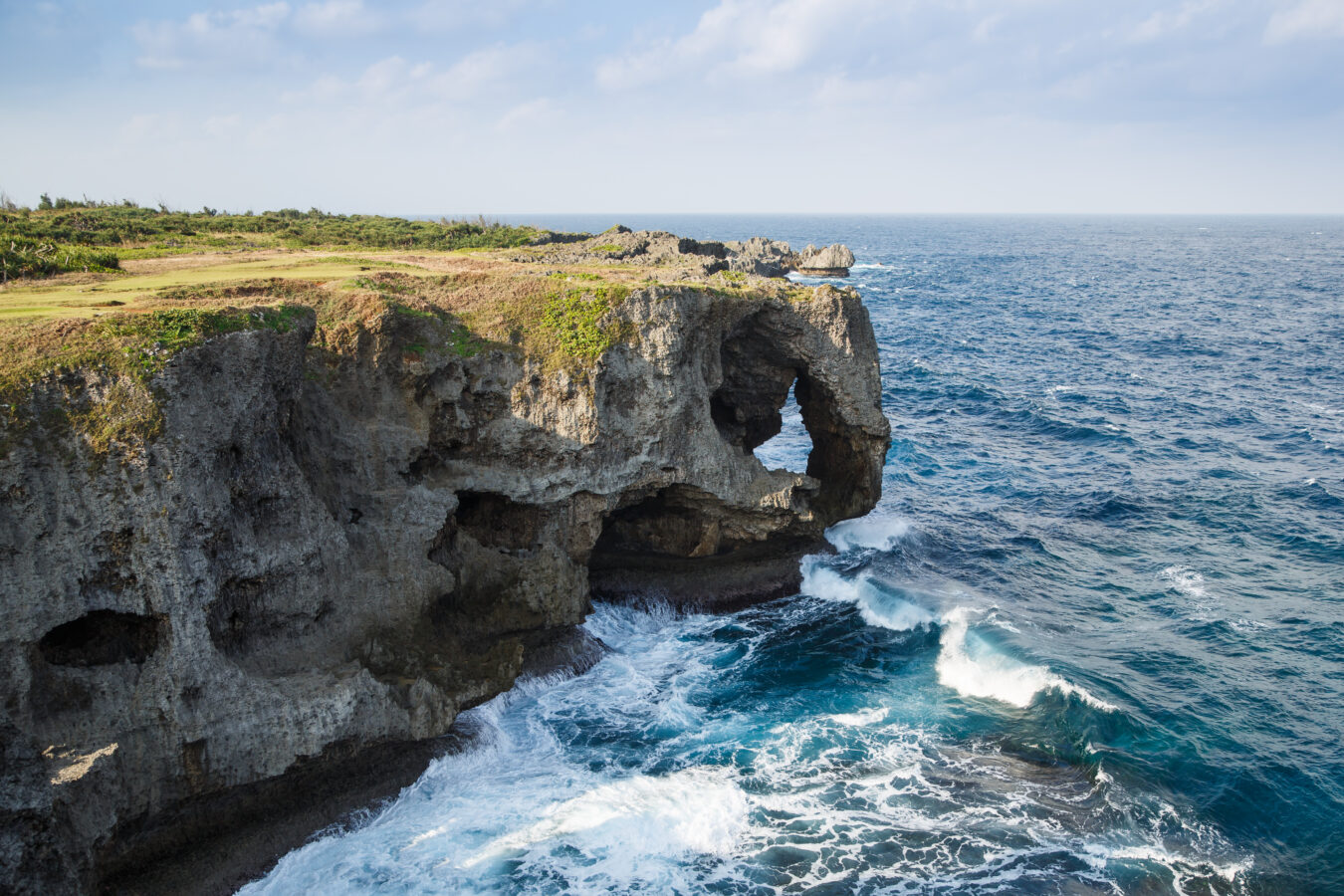
Okinawa Kaigan Quasi-National Park
沖縄海岸国定公園
Opening hours and admission for this place have not been checked yet, so none are shown. Check the official site
Our guide
Okinawa Kaigan Quasi-National Park covers coasts of Okinawa Island; the Kerama Islands, once part of it, became a national park of their own in 2014. It was set up as a prefectural park in 1965 and redesignated as a quasi-national park in 1972, when Okinawa returned to Japanese administration.
The park is spread along coasts and islands, so choose the area you want to visit and plan from there; we have not checked routes or ferries.
Written by japan-spots.com (2026-10-05) from the sources credited on this page. Distances are straight lines between map positions.
Photos
Photos from Wikimedia Commons, each under its own licence — see credits
- Onna Okinawa Japan Cape-Manzamo-01 — CEphoto, Uwe Aranas · CC BY-SA 3.0 · source · resized
- Yunemui 202102 — Kugel~commonswiki · CC BY-SA 4.0 · source · resized
- Mount Nago 202007 — Kugel~commonswiki · CC BY-SA 4.0 · source · resized
- Drone shot of Yagaji Island and Haneji Inland Sea, Okinawa Prefecture — Benlisquare · CC BY-SA 4.0 · source · resized
- Busena Resort11n4272 — 663highland · CC BY 2.5 · source · resized
- 万座毛 — Yuniko · CC BY-SA 3.0 · source · resized
- OkinawaOnna4 — Wvangeit · CC BY-SA 3.0 · source · resized
What this place is
Okinawa Kaigan Quasi-National Park (沖縄海岸国定公園, Okinawa Kaigan Kokutei Kōen) is a Quasi-National Park on the coast of Okinawa Island, Japan. The Kerama Islands, once part of it, became Keramashotō National Park in 2014. It was established as a Prefectural Park in 1965 and re-designated with the return of Okinawa to the Japanese administration in 1972.
Background text from Wikipedia (CC BY-SA 4.0)
What to expect at this type of place: National park
Getting there
We do not have step-by-step transit directions for this spot yet. Open the location on Google Maps for routes from where you are staying.
Traveler reviews
No reviews yet — be the first to share how it went.