Usual hours and prices, checked 2026-10-06 against the sources under “What this place is”. They can change for holidays and events — confirm before you go. Official site
Our guide
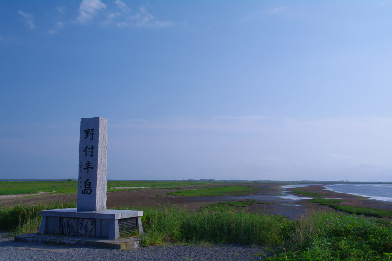
The Notsuke Peninsula on Hokkaido's east coast runs from its base in Shibetsu to its tip in Betsukai. At some 26 to 28 km, this curving spit is the longest sandspit in Japan. It reaches into the Nemuro Strait, between the Shiretoko and Nemuro peninsulas and Kunashiri, and was built up from sand carried by the strait's currents; it largely encloses Notsuke Bay. The name is thought to come from the Ainu notkeu, “jawbone”, from its resemblance to a whale's jaw.
Traces of pit dwellings of the Satsumon culture remain on the peninsula, and in the Edo period samurai manned a checkpoint here controlling the crossing to Kunashiri. We have not checked a public-transport route, so plan the journey on the map.
Written by japan-spots.com (2026-09-22) from the sources credited on this page. Distances are straight lines between map positions.
Photos
Photos from Wikimedia Commons, each under its own licence — see credits
- Notsuke peninsulas — 100yen · CC BY-SA 3.0 · source · resized
- Withered Oak Trees in Notsuke peninsula — DrTerraKhan · CC BY-SA 3.0 · source · resized
- 野付半島ネイチャーセンター — Mamusi Taka · CC BY-SA 3.0 · source · resized
- 野付半島 - panoramio — yuukokukirei · CC BY 3.0 · source · resized
- 野付半島 - panoramio (1) — yuukokukirei · CC BY 3.0 · source · resized
- 野付半島 - panoramio (2) — yuukokukirei · CC BY 3.0 · source · resized
- 野付半島ネイチャーセンター - panoramio — Mamusi Taka · CC BY-SA 3.0 · source · resized
- Draft horse, Notsuke Peninsula, Hokkaido, Japan, May 2010 — Tail furry · CC BY-SA 4.0 · source · resized
- Draft horse (2), Notsuke Peninsula, Hokkaido, Japan, May 2010 — Tail furry · CC BY-SA 4.0 · source · resized
What this place is
The Notsuke Peninsula (野付半島, Notsuke hantō) is a peninsula on the east coast of Hokkaidō, Japan, with its northwestern base in Shibetsu and southeast tip in Betsukai. The name is derived from the Ainu for jawbone, notkeu (ノッケウ), purportedly due to the landform's visual resemblance to that of a whale. The curved peninsula, the longest sandspit in the country, with a length of some 26 kilometres (16 mi) to 28 kilometres (17 mi), extends into the Nemuro Strait, which lies between Shiretoko Peninsula, Nemuro Peninsula, and the disputed island of Kunashir in the Sea of Okhotsk; it was formed by the deposition of sand sediment carried by the currents in the strait, and itself forms and largely encloses Notsuke Bay. There remain on the peninsula traces of Satsumon culture pit dwellings, while during the Edo period samurai were stationed at a checkpoint controlling the crossing to Kunashiri.
Visitor information checked: 2026-10-06 · Official visitor information
Background text from Wikipedia (CC BY-SA 4.0)
What to expect at this type of place: Coast
Getting there
We do not have step-by-step transit directions for this spot yet. Open the location on Google Maps for routes from where you are staying.
Traveler reviews
No reviews yet — be the first to share how it went.