Opening hours and admission for this place have not been checked yet, so none are shown. Check the official site
Our guide
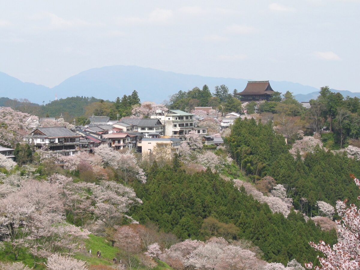
Mount Yoshino is not a single peak but a ridge running about 8 km north to south, from the south bank of the Yoshino River in the town of Yoshino, central Nara, towards the Ōmine Mountains. The name is also used more broadly for the area of shrines and temples centred on Kinpusen-ji. It has long been famous for its flowers, above all its cherry blossoms, and in 1990 it was chosen as one of Japan's 100 Best Cherry Blossom Spots.
It was designated a National Place of Scenic Beauty and Historic Site in 1924, became part of Yoshino-Kumano National Park in 1936, and since 2004 has been part of the World Heritage Site “Sacred Sites and Pilgrimage Routes in the Kii Mountain Range”.
We have not checked a public-transport route, so plan the journey on the map and look for local information before you go.
Written by japan-spots.com (2026-09-22) from the sources credited on this page. Distances are straight lines between map positions.
Photos
Photos from Wikimedia Commons, each under its own licence — see credits
- Cherry blossoms at Yoshinoyama 01 — Tawashi2006 · CC BY 2.1 jp · source · resized
- Spring Kinpsen — Draupnir3 · CC BY-SA 3.0 · source · resized
- Saigyo-an Yoshino Nara01n4272 — 663highland · CC BY 2.5 · source · resized
- Myohoden Yoshino Nara01n4272 — 663highland · CC BY 2.5 · source · resized
- Kouyou of Yoshinoyama — Outside147 · CC BY-SA 3.0 · source · resized
- Konbu Shrine, Yoshino02 — Kansai explorer · CC BY 3.0 · source · resized
- Koke-shimizu Nara01n4272 — 663highland · CC BY 2.5 · source · resized
- Kizoin Yoshino Nara01n3200 — 663highland · CC BY 2.5 · source · resized
- HANAYAGURA Observation deck — Draupnir3 · CC BY-SA 3.0 · source · resized
- Chikurinin Yoshino Nara04n4272 — 663highland · CC BY 2.5 · source · resized
What this place is
Mount Yoshino (吉野山, Yoshino-yama) is the general name for the mountain ridge that stretches from the south bank of the Yoshino River in the town of Yoshino central Nara Prefecture, Japan, to the Ōmine Mountains, stretching for about eight kilometers from north-to-south, or the broader name of the area dotted with shrines and temples, centered around Kinpusen-ji Temple. It has long been known as a famous flower spot, especially for its cherry blossoms and is a popular tourist destination. It was designated a National Place of Scenic Beauty and National Historic Site in 1924 and became part of Yoshino-Kumano National Park in 1936. In 2004, Mount Yoshino was designated as part of a UNESCO World Heritage Site under the name Sacred Sites and Pilgrimage Routes in the Kii Mountain Range. In 1990, it was selected as one of Japan's 100 Best Cherry Blossom Spots.
Background text from Wikipedia (CC BY-SA 4.0)
What to expect at this type of place: Mountain
Getting there
We do not have step-by-step transit directions for this spot yet. Open the location on Google Maps for routes from where you are staying.
Traveler reviews
No reviews yet — be the first to share how it went.