Opening hours and admission for this place have not been checked yet, so none are shown. Check the official site
Our guide
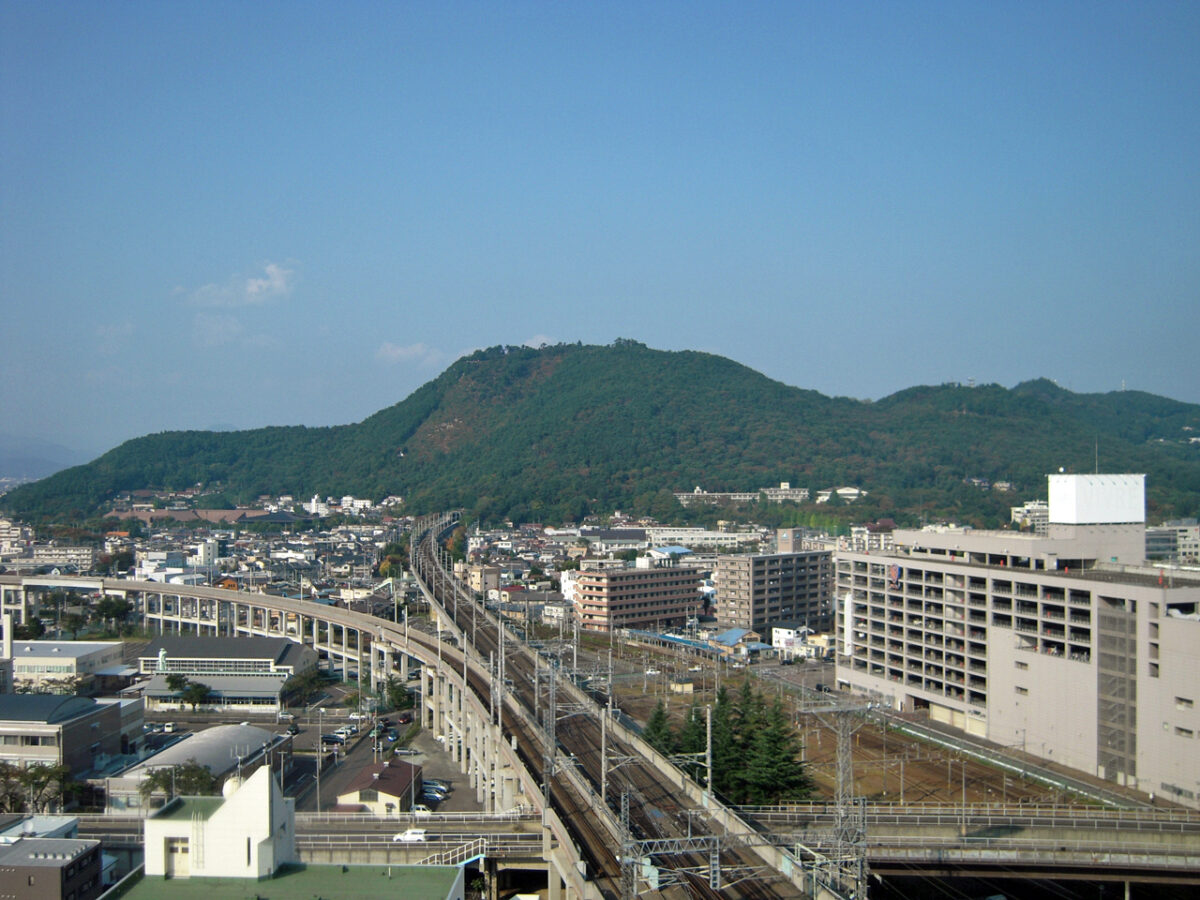
Mount Shinobu is a 275 m monadnock, an isolated hill, in the centre of the city of Fukushima. Our source says little more than that, so this page is short.
Bijutsukan-Toshokan-mae Station on the Iizaka Line is about 1.9 km from the point we map. We have not checked the paths.
Written by japan-spots.com (2026-09-22) from the sources credited on this page. Distances are straight lines between map positions.
Photos
Photos from Wikimedia Commons, each under its own licence — see credits
- Mt.Shinobu-yama — ja:利用者:Townphoto · CC BY 3.0 · source · resized
- 福島県護国神社 — Koda6029 · CC0 · source · resized
- 烏ヶ崎展望デッキから北上するE2系東北新幹線を眺める — Koda6029 · CC0 · source · resized
- 信夫山山頂から南下するE5系東北新幹線を眺める — Koda6029 · CC0 · source · resized
- 信夫山公園 — Koda6029 · CC0 · source · resized
- Shinobuyama torigasaki view — OKfarm · CC BY-SA 4.0 · source · resized
- Shinobuyama fukushima race course — OKfarm · CC BY-SA 4.0 · source · resized
- Fukushima hagurojinnjya oowarazji 20191215 — OKfarm · CC BY-SA 4.0 · source · resized
- Mt Shinobu view — likeablerodent · CC BY-SA 2.0 · source · resized
- 信夫山 - panoramio — Duff Figgy · CC BY-SA 3.0 · source · resized
What this place is
Mt. Shinobu (信夫山, Shinobu-yama) is a 275-meter monadnock located in the center of Fukushima, Fukushima, Japan.
Background text from Wikipedia (CC BY-SA 4.0)
What to expect at this type of place: Mountain
Nearby station
Nearby station: Bijutsukantoshokanmae (Iizaka Line), about 1.9 km from the spot in a straight line.
Worked out on 2026-09-14 from this place’s map position, using HeartRails Express station data and station names from Wikidata. The distance is a straight line, not a walking route, and says nothing about buses, transfers or timetables — plan the trip on Google Maps.
Traveler reviews
No reviews yet — be the first to share how it went.