Opening hours and admission for this place have not been checked yet, so none are shown. Check the official site
Our guide
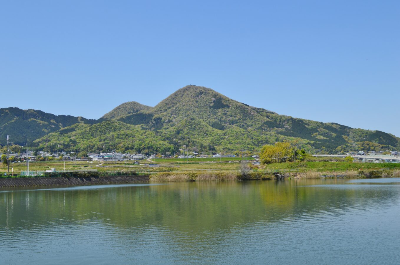
Mount Nijō is a twin-peaked mountain of the Kongō range on the border of Taishi, Osaka, and Katsuragi, Nara: Odake is 517 m and Medake 474 m. From the top there are wide views over the Nara Basin, the Osaka plain and Osaka Bay. In the Man'yōshū it was called Futakamiyama, “twin mountain”, and local people worship it as a gateway to heaven.
It lies along the Kintetsu Minami Osaka Line, with hiking trails of different lengths and difficulty on every side. It is also part of the 45 km Diamond Trail along the Kongō range; heading south, Mount Yamato Katsuragi is about 8.6 km on and Mount Kongō about 14.1 km. Taima-dera is about 1.9 km away.
Written by japan-spots.com (2026-09-22) from the sources credited on this page. Distances are straight lines between map positions.
Photos
Photos from Wikimedia Commons, each under its own licence — see credits
- Mount Nijo, zenkei — Saigen Jiro · CC0 · source · resized
- Tomb of Prince Otsu, haisho — Saigen Jiro · CC0 · source · resized
- Rokutanji ato2 — KENPEI · CC BY-SA 3.0 · source · resized
- Rokutanji ato1 — KENPEI · CC BY-SA 3.0 · source · resized
- Rokutan-ji, tou-2 — Saigen Jiro · CC0 · source · resized
- Rokutan-ji, sekkutsu-1 — Saigen Jiro · CC0 · source · resized
- Rokutan-ji, gaikan-1 — Saigen Jiro · CC0 · source · resized
- Mt.Nijyo — Kawaguchi · CC BY-SA 3.0 · source · resized
What this place is
Mount Nijō (二上山, Nijōzan) is a mountain in the Kongō Range straddling the prefectural border between Taishi, Osaka and Katsuragi, Nara in Japan. Mount Nijō has twin peaks, Odake (517m) and Medake (474m). From the top there are sweeping views of Nara's basin, Osaka plain and Osaka bay. Mount Nijō is located along the Minami Osaka Line of the Kintetsu Railway and is accessible on several different hiking trails on all sides of varying difficulty and length. The mountain forms part of the diamond trail, which is a 45 km-long trail running along the Kongō mountain range separating Nara, Osaka and Wakayama Prefectures. Heading south along the diamond trail is Mount Yamato Katsuragi (about 8.6 km) and Mount Kongō (about 14.1 km). According to the Man'yōshū, Mount Nijō was known as ‘Futakamiyama’ which means twin mountains. This mountain is worshipped by local people as a gateway to heaven.
Background text from Wikipedia (CC BY-SA 4.0)
What to expect at this type of place: Mountain
Getting there
We do not have step-by-step transit directions for this spot yet. Open the location on Google Maps for routes from where you are staying.
Traveler reviews
No reviews yet — be the first to share how it went.