Opening hours and admission for this place have not been checked yet, so none are shown. Check the official site
Our guide
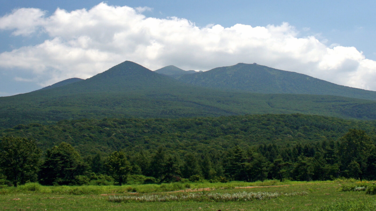
The Hakkōda Mountains, often just called Hakkōda, are an active volcanic complex in south-central Aomori within Towada-Hachimantai National Park, listed together as one of the 100 Famous Japanese Mountains. The highest peak, Mount Ōdake, 1,585 m, lies 21.3 km south-east of central Aomori. The complex is made up of fourteen stratovolcanoes and lava domes in two groups; the northern group rises from the rim of an 8 km-wide caldera dating from the Pleistocene. The mountains are part of the Ōu range, on the Pacific Ring of Fire.
Sukayu Onsen is about 2.5 km from the point this page is mapped to. As an active volcano and high ground, check current conditions, trails and the weather before you go; we have not checked them.
Written by japan-spots.com (2026-09-22) from the sources credited on this page. Distances are straight lines between map positions.
Photos
Photos from Wikimedia Commons, each under its own licence — see credits
- Hakkodasan seen from the northwest — Yuichi Kosio · CC BY 2.0 · source · resized
- 仙人岱からの八甲田山(大岳) — Koda6029 · CC BY-SA 4.0 · source · resized
- 下毛無岱からの赤倉岳、井戸岳、八甲田山(大岳) — Koda6029 · CC BY-SA 4.0 · source · resized
- 上毛無岱からの下毛無岱 — Koda6029 · CC BY-SA 4.0 · source · resized
- Хаккода суйрен нума — あおもりくま at Japanese Wikipedia This photo was taken with Sony DSC-H3 · CC BY-SA 3.0 · source · resized
- Oseyati — らんで · CC BY-SA 3.0 · source · resized
- Minamihakkôda Karekinuma — らんで · CC BY-SA 4.0 · source · resized
- Juhyo of Hakkoda 02 — Marho · CC BY-SA 4.0 · source · resized
- Hakkōda Mountains in winter — Brandon · CC BY 2.0 · source · resized
- Hakkôdasan (Sanmei iri) — らんで · CC BY-SA 4.0 · source · resized
What this place is
The Hakkōda Mountains (八甲田山系, Hakkōda-sankei) are an active volcanic complex in south-central Aomori Prefecture, Japan, in Towada-Hachimantai National Park. Often called Mount Hakkōda (八甲田山, Hakkōda-san) or simply Hakkōda (八甲田), the mountains are collectively listed as one of the 100 Famous Japanese Mountains. Its highest peak, Mount Ōdake, lies 21.3 kilometers (13.2 mi) southeast of central Aomori and 28 kilometers (17 mi) west of central Towada and has an elevation of 1,585 meters (5,200 ft). The Hakkōda Mountains are a part of the Ōu Mountains which make up part of the Northeastern Japan Arc, a segment of the Pacific Ring of Fire. The volcanic complex consists of fourteen stratovolcanoes and lava domes arranged into two volcanic groups. The Northern Hakkōda Volcanic Group emerges from the rim of an 8-kilometer-wide (5.0 mi) caldera that dates back to the Pleistocene.
Background text from Wikipedia (CC BY-SA 4.0)
What to expect at this type of place: Mountain
Getting there
We do not have step-by-step transit directions for this spot yet. Open the location on Google Maps for routes from where you are staying.
Traveler reviews
No reviews yet — be the first to share how it went.