Opening hours and admission for this place have not been checked yet, so none are shown. Check the official site
Our guide
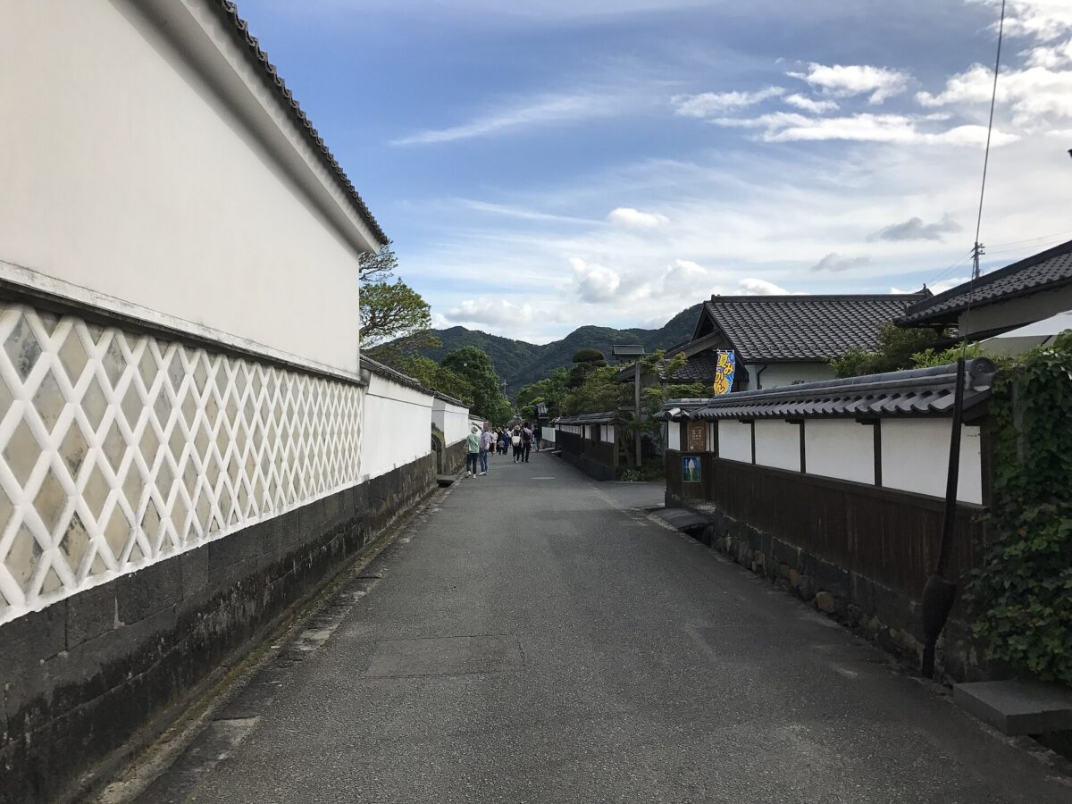
Hagi Castle Town grew up around Hagi Castle, seat of the Chōshū Domain. After defeat at Sekigahara in 1600, Mōri Terumoto's lands were cut to Suō and Nagato, and from 1604 he built the town here together with the castle. The castle ruins, the castle town and the Horiuchi district keep much of their old appearance, and they are part of the World Heritage Site “Sites of Japan's Meiji Industrial Revolution”.
Hagi Castle is mapped to the same point, and Toko-ji is about 4 km away. Tamae Station on the San'in Main Line is about 1.4 km off.
Written by japan-spots.com (2026-09-22) from the sources credited on this page. Distances are straight lines between map positions.
Photos
Photos from Wikimedia Commons, each under its own licence — see credits
- Kikuya Lane in Hagi Castle Town 1 — そらみみ · CC BY-SA 4.0 · source · resized
- 萩城址 — ぽこるん · CC BY-SA 4.0 · source · resized
- 萩の海岸 - panoramio — Mamusi Taka · CC BY-SA 3.0 · source · resized
- 山口県立萩美術館・浦上記念館 2023-11-25 — ハポニアラ · CC BY 4.0 · source · resized
- View in Hagi Castle Town — そらみみ · CC BY-SA 4.0 · source · resized
- Wall and Natsumikan in Hagi Castle Town - June 5, 2005 — masatsu · CC BY-SA 2.0 · source · resized
What this place is
Hagi Castle Town (萩城下町) is the town that grew up around Hagi Castle, seat of the Chōshū Domain. Mōri Terumoto, whose lands were cut to Suō and Nagato after defeat at Sekigahara in 1600, built it alongside the castle from 1604. The castle ruins, the castle town and the Horiuchi district keep much of their old appearance, and are part of the World Heritage Site "Sites of Japan's Meiji Industrial Revolution".
Background text translated from Japanese Wikipedia (CC BY-SA 4.0)
What to expect at this type of place: Castle
Nearby station
Nearby station: Tamae (San'in Main Line), about 1.4 km from the spot in a straight line.
Worked out on 2026-09-14 from this place’s map position, using HeartRails Express station data and station names from Wikidata. The distance is a straight line, not a walking route, and says nothing about buses, transfers or timetables — plan the trip on Google Maps.
Traveler reviews
No reviews yet — be the first to share how it went.