Usual hours and prices, checked 2026-10-07 against the sources under “What this place is”. They can change for holidays and events — confirm before you go. Official site
Our guide
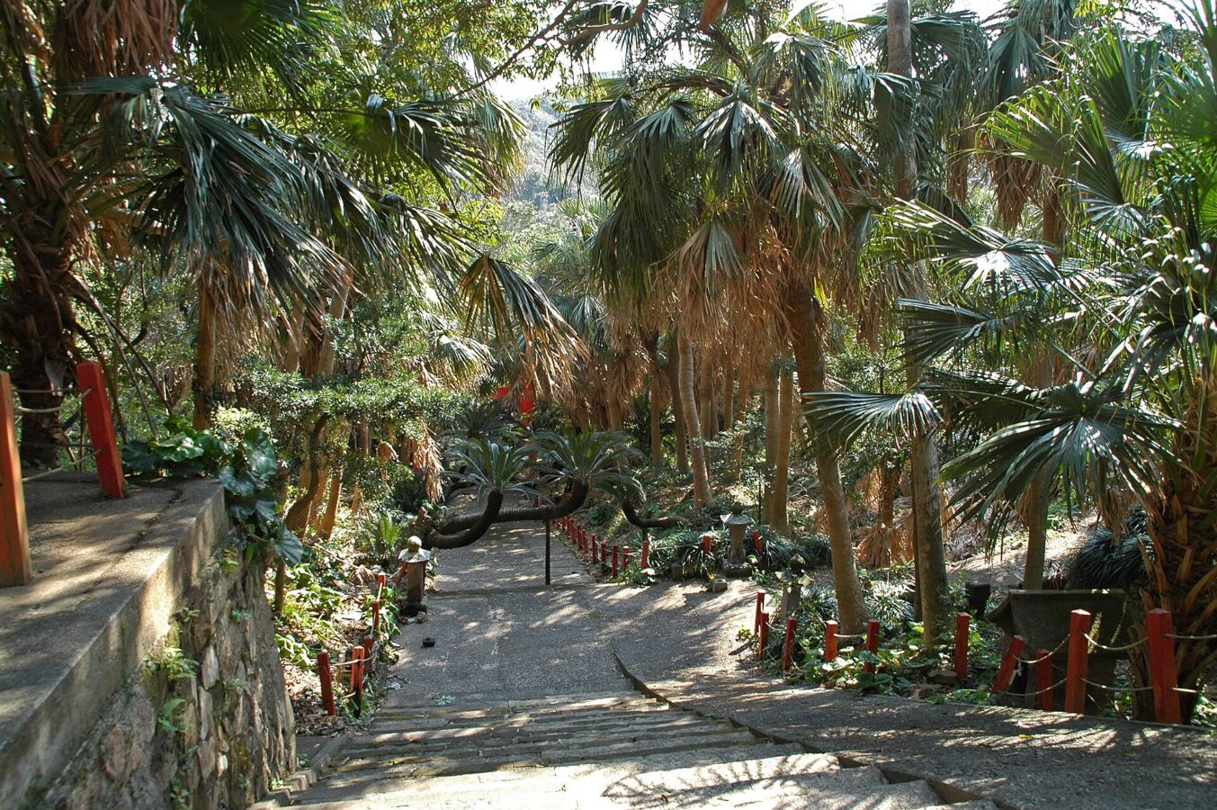
Cape Sata, at the southern tip of the Ōsumi Peninsula in the town of Minamiōsumi, Kagoshima, is the southernmost point of Kyūshū and so of Japan's four main islands, just south of 31° N. It lies within Kirishima-Kinkōwan National Park. Here are Misaki Shrine and the Satamisaki Lighthouse, built in 1871 to a design by the Scottish engineer Richard Henry Brunton. Until 29 October 2012 the land was run by a private company that charged for entry; it was then sold to the town of Minamiōsumi.
We have not checked a public-transport route or current fees, so look for local information before you go.
Written by japan-spots.com (2026-09-22) from the sources credited on this page. Distances are straight lines between map positions.
Photos
Photos from Wikimedia Commons, each under its own licence — see credits
- Satamisaki View Park Kagoshima — hashi photo · CC BY 3.0 · source · resized
- Satamisaki Park View Kagoshima001 — Hashi photo · CC BY 3.0 · source · resized
- SataCapeView — Ippukucho · CC BY 3.0 · source · resized
- SataCapeGate — Ippukucho · CC BY 3.0 · source · resized
- SataCape2 — Ippukucho · CC BY 3.0 · source · resized
- SataCape1 — Ippukucho · CC BY 3.0 · source · resized
- MisakiShrine — Ippukucho · CC BY 3.0 · source · resized
- Sata-misaki 佐多岬 (299832131) — Yamaguchi Yoshiaki from Japan · CC BY-SA 2.0 · source · resized
- Sata-misaki 佐多岬 (299831872) — Yamaguchi Yoshiaki from Japan · CC BY-SA 2.0 · source · resized
What this place is
Cape Sata (佐多岬, Sata Misaki) is a cape at the southern tip of the Ōsumi Peninsula of Kyūshū island, Japan. It is the southernmost point of the island, and therefore of the overall Japanese Home Islands (Hokkaidō, Honshū, Shikoku, and Kyūshū), just south of 31 degrees latitude. It belongs to the town of Minamiōsumi, Kagoshima Prefecture. It is within the borders of the Kirishima-Kinkōwan National Park, in the town of Minamiōsumi. The area contains a Shinto shrine, the Misaki Shrine, and is also home to the Satamisaki Lighthouse built in 1871, designed by the Scotsman Richard Henry Brunton. Until October 29, 2012, the land was under the jurisdiction of a private company, which charged admission for entry to the area; however, the land was sold to the municipality of Minamiōsumi and is now free to enter.
Visitor information checked: 2026-10-07 · Official visitor information
Background text from Wikipedia (CC BY-SA 4.0)
What to expect at this type of place: Coast
Getting there
We do not have step-by-step transit directions for this spot yet. Open the location on Google Maps for routes from where you are staying.
Traveler reviews
No reviews yet — be the first to share how it went.