Opening hours and admission for this place have not been checked yet, so none are shown. Check the official site
Our guide
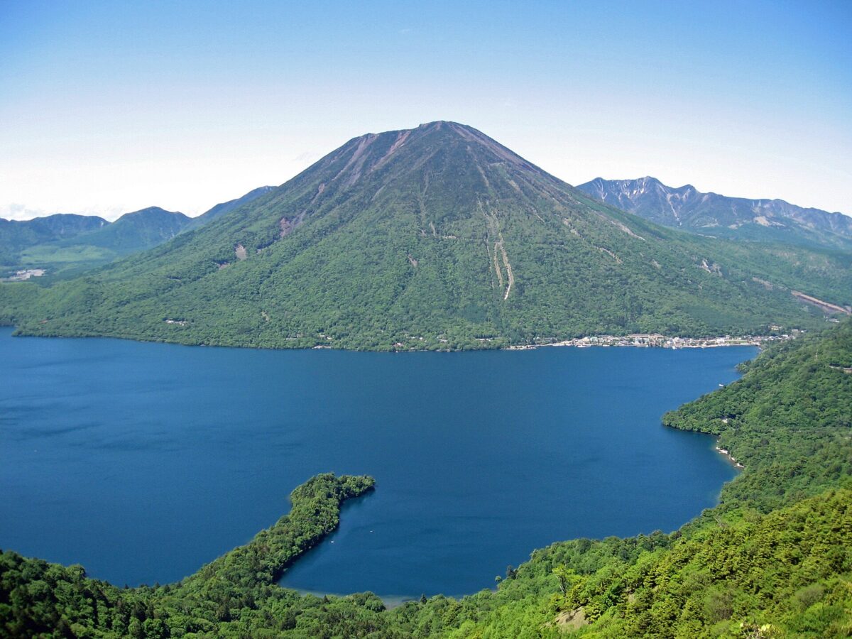
Lake Chūzenji, in Nikkō National Park, was formed about 20,000 years ago when an eruption of Mount Nantai (2,484 m) blocked a river. It lies 1,269 m above sea level, covers about 11.6 km², is 25 km around and up to 163 m deep; the Yukawa River feeds it, and it drains out over Kegon Falls. The priest Shōdō is said to have found it in 782 when his party reached the top of Mount Nantai, and the mountain, held sacred, was closed to women, horses and cattle until 1872.
In the Meiji and early Shōwa periods many European embassies built summer houses around the lake; the former Italian embassy villa has been restored and is open to visitors. Ryūzu Falls is about 2.3 km away in a straight line. We have not checked a public-transport route, so plan the journey on the map.
Written by japan-spots.com (2026-09-22) from the sources credited on this page. Distances are straight lines between map positions.
Photos
Photos from Wikimedia Commons, each under its own licence — see credits
- Mount nantai and lake chuzenji — Uraomote yamaneko · CC BY-SA 3.0 · source · resized
- 半月山の中禅寺湖展望台からの男体山と紅葉 — くろふね · CC BY-SA 4.0 · source · resized
- View from Mt.Nantai 01 — Σ64 · CC BY 3.0 · source · resized
- Sightseeing ship Kegon — ブルーノ・プラス · CC BY-SA 4.0 · source · resized
- Iris Beach jetty — ブルーノ・プラス · CC BY-SA 4.0 · source · resized
- In front of Tachiki Kannon jetty — ブルーノ・プラス · CC BY-SA 4.0 · source · resized
- Embassy Villa Memorial Park jetty — ブルーノ・プラス · CC BY-SA 4.0 · source · resized
- Boat Station Chuzenji — ブルーノ・プラス · CC BY-SA 4.0 · source · resized
- Aerial Photography (Nikko, Tochigi, Japan) (6836755916) (cropped) — t-mizo from Japan · CC BY 2.0 · source · resized
- 200731 Lake Chuzenji Boat House Nikko Tochigi pref Japan01bs7 — 663highland · CC BY-SA 4.0 · source · resized
What this place is
Lake Chūzenji (中禅寺湖, Chūzenji-ko), also called Sea of Happiness, is a scenic lake in Nikkō National Park in the city of Nikkō, Tochigi Prefecture, Japan. It was created 20,000 years ago when Mount Nantai (2484 m) erupted and blocked the river. The lake has a surface area of 11.62 km2 and a circumference of 25 km. Its elevation at the surface is 1,269 m (4,124 ft), and the water reaches a depth of 163 m (508 ft). The Yukawa River is the principal source of water. It drains through the Kegon Falls. Chuzenji Lake was discovered in 782 by a priest named Shōdō when his group succeeded in climbing Mt. Nantai. Considered sacred, the mountain was closed to women, horses, and cows until 1872.In the middle of the Meiji period and early Showa period, many European embassies built vacation houses around the lake. The former Italian villa has been renewed and is now open to visitors.
Background text from Wikipedia (CC BY-SA 4.0)
What to expect at this type of place: Lakes & falls
Getting there
We do not have step-by-step transit directions for this spot yet. Open the location on Google Maps for routes from where you are staying.
Traveler reviews
No reviews yet — be the first to share how it went.