Opening hours and admission for this place have not been checked yet, so none are shown. Check the official site
Our guide
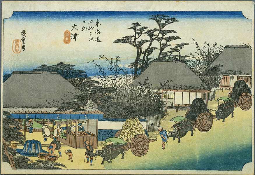
Ōtsu-juku was the last of the 69 stations of the Nakasendō and also the last of the 53 stations of the Tōkaidō, 14 km on from the previous post town, Kusatsu-juku, in the old Ōmi Province. It lies in the present-day city of Ōtsu, Shiga.
Kamisakaemachi Station on the Keihan Keishin Line is about 150 m away in a straight line, and Zeze Castle about 3.3 km.
Written by japan-spots.com (2026-09-22) from the sources credited on this page. Distances are straight lines between map positions.
Photos
Photos from Wikimedia Commons, each under its own licence — see credits
- Tokaido53 Otsu — Utagawa Hiroshige · Public domain · source · resized
- Kisokaido69 Otsu — Utagawa Hiroshige · Public domain · source · resized
- Otsu (5759539800) — Utagawa Hiroshige · Public domain · source · resized
- 東海道五十三次之内 大津 — Utagawa Hiroshige · CC0 · source · resized
- 東海道五十三次 大津 — Utagawa Hiroshige · CC0 · source · resized
- 東海道五十三次 大津 — Utagawa Hiroshige · CC0 · source · resized
- Otsu Gyosho Tokaido — Utagawa Hiroshige · Public domain · source · resized
- Otsu Reisho Tokaido — Utagawa Hiroshige · Public domain · source · resized
- Crossing of Otsu-fuda from Ise-sangu-meisyo-zue — Unknown author · Public domain · source · resized
What this place is
Ōtsu-juku (大津宿, Ōtsu-juku) was the last of the sixty-nine stations of the Nakasendō, as well as the last of the fifty-three stations of the Tōkaidō. It was 14 km (9 mi) from the previous post town, Kusatsu-juku, and was located in Ōmi Province. It is currently located in the present-day city of Ōtsu, Shiga Prefecture, Japan.
Background text from Wikipedia (CC BY-SA 4.0)
What to expect at this type of place: History
Nearby station
Nearby station: Kamisakaemachi (Keihan Keishin Line), about 150 m from the spot in a straight line.
Worked out on 2026-09-14 from this place’s map position, using HeartRails Express station data and station names from Wikidata. The distance is a straight line, not a walking route, and says nothing about buses, transfers or timetables — plan the trip on Google Maps.
Traveler reviews
No reviews yet — be the first to share how it went.