Opening hours and admission for this place have not been checked yet, so none are shown. Check the official site
Our guide
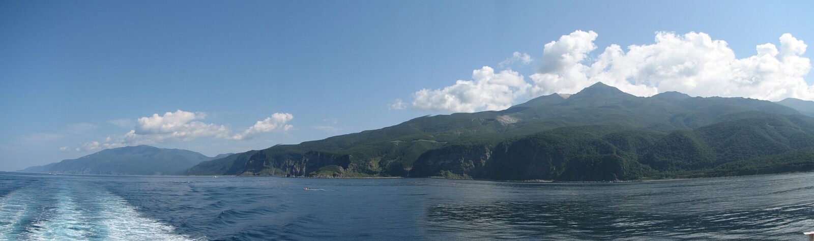
The Shiretoko Peninsula is the easternmost part of Hokkaido, reaching out into the Sea of Okhotsk and separated from Kunashiri by the Nemuro Strait. Its name comes from the Ainu sir etok, “the end of the Earth” or “the place where the land juts out”. The towns of Rausu and Shari lie on the peninsula. It was registered as a World Heritage Site in 2005, recognised as the southernmost place in the Northern Hemisphere where sea ice usually forms.
We have not checked a public-transport route or boat trips, so look for local information before you go.
Written by japan-spots.com (2026-09-22) from the sources credited on this page. Distances are straight lines between map positions.
Photos
Photos from Wikimedia Commons, each under its own licence — see credits
- Shiretoko National Park — Trengarasu · Public domain · source · resized
- Shiretoko Mountains — Highten31 · CC BY-SA 3.0 · source · resized
- 140828 Otoko-no-namida Shiretoko Peninsula Hokkaido Japan01s5 — 663highland · CC BY-SA 4.0 · source · resized
- 140828 Otoko-no-namida Shiretoko Peninsula Hokkaido Japan02s5 — 663highland · CC BY-SA 4.0 · source · resized
- 140828 Otoko-no-namida Shiretoko Peninsula Hokkaido Japan03s5 — 663highland · CC BY-SA 4.0 · source · resized
- Shiretoko (14874395969) — Dick Thomas Johnson from Tokyo, Japan · CC BY 2.0 · source · resized
- Hokkaido-Drift ice, Shiretoko Peninsula-xl — kkawamura · CC BY 4.0 · source · resized
- ヨウシペツの滝 — シンプルですけど機能的なベッド · CC BY-SA 4.0 · source · resized
What this place is
The Shiretoko Peninsula (知床半島, Shiretoko-hantō) is located on the easternmost portion of the Japanese island of Hokkaido, protruding into the Sea of Okhotsk. It is separated from Kunashiri Island by the Nemuro Strait. The name Shiretoko is derived from the Ainu word sir etok, meaning "the end of the Earth" or "the place where the Earth protrudes". The towns of Rausu and Shari are found on the peninsula. The Shiretoko Peninsula was registered as a UNESCO World Heritage Site in 2005, in recognition of the peninsula being the southernmost point where sea ice usually forms in the Northern Hemisphere.
Background text from Wikipedia (CC BY-SA 4.0)
What to expect at this type of place: Coast
Getting there
We do not have step-by-step transit directions for this spot yet. Open the location on Google Maps for routes from where you are staying.
Traveler reviews
No reviews yet — be the first to share how it went.