No opening hours or admission are shown: the sources we checked on 2026-09-15 were used for the route only. Check the official site
AD 🛏️ Hotels nearby on Agoda ↗ About this link
Our guide
Amami Ōshima is the largest island of the Amami archipelago, which lies between Kyushu and Okinawa and belongs to Kagoshima Prefecture. It covers about 712 km² and has around 73,000 people, divided between the city of Amami and several towns and villages. Much of it lies within the Amami Guntō National Park, and in 2021 it became part of a UNESCO World Heritage Site together with Tokunoshima, the northern part of Okinawa Island and Iriomote.
Getting there is by air or sea. Flights reach Amami Airport from Tokyo, Osaka, Fukuoka, Kagoshima and Naha, and the daily ferries between Kagoshima and Naha call at Naze Port. Once you are on the island, buses are few, so work out how you will get around before you arrive.
Written by japan-spots.com (2026-09-22) from the sources credited on this page. Distances are straight lines between map positions.
Photos
Photos from Wikimedia Commons, each under its own licence — see credits
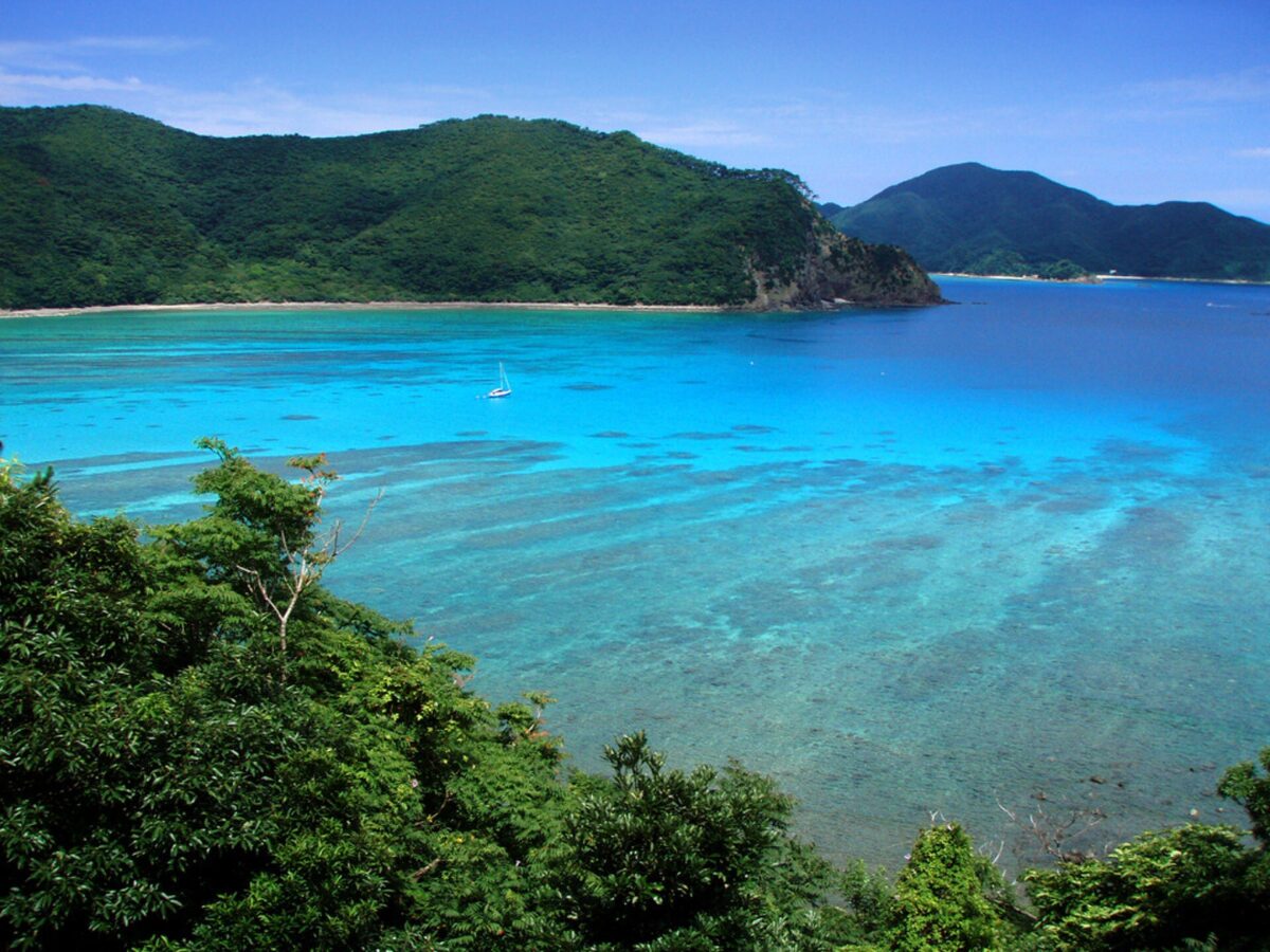
- View of Katetsu cove from nearby Manen-zaki — 岩元剛 Tsuyoshi Iwamoto · CC BY 3.0 · source · resized
- Amami Oshima ISS019 — Image Science and Analysis Laboratory, NASA-Johnson Space Center. "The Gateway to Astronaut Photography of Earth." · Public domain · source · resized
- 奄美大島住用 神屋の渓谷1月 — Mmsmr · CC0 · source · resized
- ハブ Protobothrops flavoviridis 奄美大島住用川 — Mmsmr · CC0 · source · resized
- アマミイシカワガエルOdorrana splendida奄美大島大和村140516 — Mmsmr · CC0 · source · resized
- Mangrove in amami — Vanquish0 · CC BY-SA 3.0 · source · resized
- Kinsakubaru wildwood — Navian · Public domain · source · resized
- It enters the Naze port of the night "Ryukyu express" Kagoshima,JAPAN — Si-take. · CC BY-SA 3.0 · source · resized
- Ferry Kakeroma — Si-take. · CC BY-SA 3.0 · source · resized
- Boarding scenery of "Ferry Kikai" Naze Port Kagoshima,JAPAN — Si-take. · CC BY-SA 3.0 · source · resized
What this place is
Amami Ōshima (奄美大島), also known as Amami, is the largest island in the Amami archipelago between Kyūshū and Okinawa. It is one of the Satsunan Islands, all of which belong to Kagoshima Prefecture, Japan. The island, 712.35 km2 in area, has a population of approximately 73,000 people. Administratively it is divided into the city of Amami, the towns of Tatsugō, Setouchi, and the villages of Uken and Yamato in Kagoshima Prefecture. Much of the island is within the borders of the Amami Guntō National Park. In 2021, it was listed as part of the serial UNESCO World Heritage Site of Amami-Ōshima Island, Tokunoshima Island, northern part of Okinawa Island, and Iriomote Island.
Visitor information checked: 2026-09-15 · Amami Ōshima tourism association: access
Background text adapted from Wikipedia (CC BY-SA 4.0)
What to expect at this type of place: Island
Getting there by public transport
- Direct flights to Amami Airport take about 2 h 20 min from Tokyo Haneda, 2 h 55 min from Narita, 1 h 50 min from Osaka Itami, 1 h 55 min from Kansai and 1 h 20 min from Fukuoka; there are also flights from Kagoshima and Naha.
- Ferries between Kagoshima Shinkō and Naha call at Naze Port, run daily in turn by A-Line Ferry and Marix Line.
- Buses on the island are few.
Route checked: 2026-09-15 · Amami Ōshima tourism association: access · Timetables change — check the operator before you travel.
Where to stay nearby
Hotels near Amami Ōshima on Agoda
AD Affiliate link: if you book through it, we may earn a commission from Agoda, at no extra cost to you. Hotels, prices and availability are Agoda’s, for the whole town around this spot.
Traveler reviews
No reviews yet — be the first to share how it went.