Opening hours and admission for this place have not been checked yet, so none are shown. Check the official site
Our guide
Umi-no-Nakamichi — “the road through the sea” — is a tombolo in Higashi Ward, Fukuoka: a sandbar that links Kyushu to Shikanoshima Island. It is 8 km long and up to 2.5 km wide, with the Genkai Sea on its northern shore and Hakata Bay on its southern.
Umi-no-Nakamichi Station on the Kashii Line is about 950 m from the point this page is mapped to, in a straight line. We have not checked what facilities are open or their hours.
Written by japan-spots.com (2026-09-22) from the sources credited on this page. Distances are straight lines between map positions.
Photos
Photos from Wikimedia Commons, each under its own licence — see credits
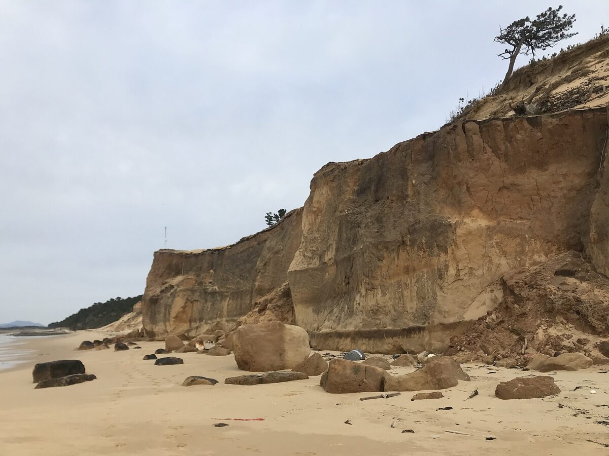
- Cliff of Nata Beach 14 — そらみみ · CC BY-SA 4.0 · source · resized
- Grampus griseus by OpenCage — Daiju Azuma (uploader on Commons) · CC BY-SA 2.5 · source · resized
- Marine World Uminonakamichi — STA3816 · CC BY-SA 3.0 · source · resized
- View of Marine World Uminonakamichi 20140504 — そらみみ · CC BY-SA 3.0 · source · resized
- Marine World Uminonakamichi 2 — そらみみ (Soramimi) · CC BY-SA 4.0 · source · resized
- Marine World Uminonakamichi 1 — そらみみ (Soramimi) · CC BY-SA 4.0 · source · resized
- Side view of Marine World Uminonakamichi — そらみみ (Soramimi) · CC BY-SA 4.0 · source · resized
- Sculpture of dolphins in front of Marine World Uminonakamichi — そらみみ (Soramimi) · CC BY-SA 4.0 · source · resized
What this place is
Umi no Nakamichi (海の中道; 'road in the middle of the sea' or 'path through the sea') is a tombolo in Higashi-ku, Fukuoka, Fukuoka Prefecture, Japan. It connects Kyushu Island and Shikanoshima Island. It is 8km in length and up to 2.5 km in width. Its northern coast borders Genkai Sea and its southern coast Hakata Bay.
Background text from Wikipedia (CC BY-SA 4.0)
What to expect at this type of place: Park & garden
Nearby station
Nearby station: Umi-no-Nakamichi (Kashii Line), about 950 m from the spot in a straight line.
Worked out on 2026-09-14 from this place’s map position, using HeartRails Express station data and station names from Wikidata. The distance is a straight line, not a walking route, and says nothing about buses, transfers or timetables — plan the trip on Google Maps.
Traveler reviews
No reviews yet — be the first to share how it went.