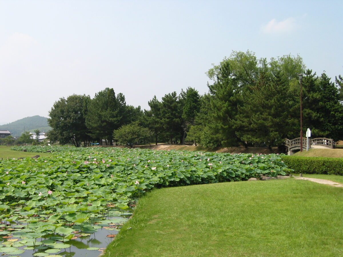
Takamatsu Castle (Bitchū)
高松城 (備中国)
Usual hours and prices, checked 2026-10-06 against the sources under “What this place is”. They can change for holidays and events — confirm before you go. Official site
Our guide
Takamatsu Castle in Bitchū Province was a Sengoku-period castle in what is now Kayo, Kita Ward, Okayama. It was a flatland castle with no stone walls, only earthen ones, and marshes around it served as a natural moat. Its ruins have been a National Historic Site since 1902.
Bitchū-Takamatsu Station on the Kibi Line is about 750 m away in a straight line, and Kibiji about 4.7 km.
Written by japan-spots.com (2026-09-22) from the sources credited on this page. Distances are straight lines between map positions.
Photos
Photos from Wikimedia Commons, each under its own licence — see credits
- Bitchu Takamatsu castle ruins — by Reggaeman · CC BY-SA 3.0 · source · resized
- Takamatsumizuseme2 — Utagawa Kuniyoshi · Public domain · source · resized
- Kawazugahana Embankment site — by Reggaeman · CC BY-SA 3.0 · source · resized
- Kawazugahana Embankment base — by Reggaeman · CC BY-SA 3.0 · source · resized
- 251101 Takamatsu Castle (Bitchu) Okayama Japan05s3 — 663highland · CC BY-SA 4.0 · source · resized
- 251101 Takamatsu Castle (Bitchu) Okayama Japan01s3 — 663highland · CC BY-SA 4.0 · source · resized
What this place is
Takamatsu Castle (高松城, Takamatsu-jō) of Bitchū Province was a Sengoku period Japanese castle located in what is today the Kayo neighborhood of Kita-ku, Okayama in Okayama Prefecture. The style of the castle was a hirajō (flatland castle) with no stone walls, but only earthen walls. The castle was surrounded by marshes, which formed a natural moat. Its ruins have been protected by the central government as a National Historic Site since 1902.
Visitor information checked: 2026-10-06 · Official visitor information
Background text from Wikipedia (CC BY-SA 4.0)
What to expect at this type of place: Castle
Nearby station
Nearby station: Bitchū-Takamatsu (Kibi Line), about 750 m from the spot in a straight line.
Worked out on 2026-09-14 from this place’s map position, using HeartRails Express station data and station names from Wikidata. The distance is a straight line, not a walking route, and says nothing about buses, transfers or timetables — plan the trip on Google Maps.
Traveler reviews
No reviews yet — be the first to share how it went.