Usual hours and prices, checked 2026-10-04 against the sources under “What this place is”. They can change for holidays and events — confirm before you go. Official site
Our guide
Mount Nokogiri — “saw mountain” — is a low mountain on the Bōsō Peninsula, on the border of Futtsu and Kyonan. It runs east to west with the jagged, saw-toothed outline that gives it its name, and on its western side it drops steeply into Tokyo Bay. Both features come partly from its history as a stone quarry in the Edo period, and the marks of the quarrying are still plain to see.
Hamakanaya Station on the Uchibō Line is about 1.9 km from the point this page is mapped to, in a straight line. We have not checked a route up or fees, so check local information before you go.
Written by japan-spots.com (2026-09-22) from the sources credited on this page. Distances are straight lines between map positions.
Photos
Photos from Wikimedia Commons, each under its own licence — see credits
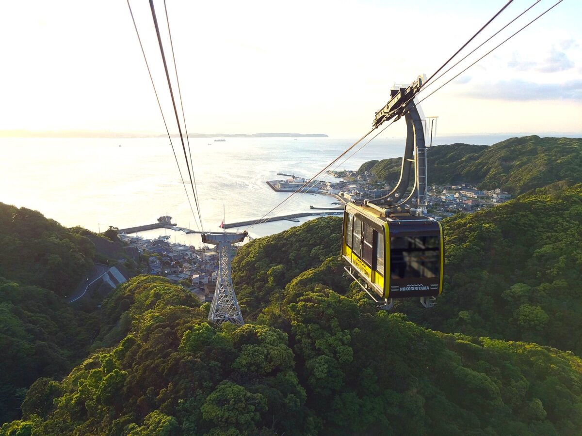
- Nokogiriyama Ropeway 20150503 — Xser21 · CC BY-SA 4.0 · source · resized
- Nokogiriyama-ropeway — Σ64 · CC BY-SA 3.0 · source · resized
- View of Nokogiriyama Ropeway, crossing — 掬茶 · CC BY-SA 3.0 · source · resized
- Nokogiriyama Ropeway 2013-08-07 (9464463616) — Guilhem Vellut from Annecy, France · CC BY 2.0 · source · resized
- Nokogiriyama Ropeway 2022 Dec 12 various — Nesnad · CC BY 4.0 · source · resized
- Nokogiriyama Ropeway 2022 Dec 12 various 14 51 44 547000 — Nesnad · CC BY 4.0 · source · resized
- Nokogiriyama Ropeway 2022 Dec 12 various 14 51 50 703000 — Nesnad · CC BY 4.0 · source · resized
- Nokogiriyama Ropeway 2022 Dec 12 various 14 51 57 290000 — Nesnad · CC BY 4.0 · source · resized
- Nokogiriyama Ropeway 2022 Dec 12 various 14 52 03 082000 — Nesnad · CC BY 4.0 · source · resized
- Nokogiriyama Ropeway 2022 Dec 12 various 14 52 09 340000 — Nesnad · CC BY 4.0 · source · resized
What this place is
Mount Nokogiri (鋸山, Nokogiri-yama) literally "saw mountain" is a low mountain on the Bōsō Peninsula on Honshu, Japan. It lies on the southern border of the city of Futtsu and the town Kyonan in Awa District in Chiba Prefecture. The mountain runs east to west, having the characteristic sawtoothed profile of a Japanese saw (鋸, nokogiri). It falls steeply into Tokyo Bay on its western side, where it is pierced by two road tunnels and a rail tunnel, carrying the Uchibo Line south from Futtsu to Tateyama. Both features are due in part to the mountain's history as a stone quarry in the Edo period, the marks of which are still picturesquely evident.
Visitor information checked: 2026-10-04 · Official visiting information (1) · Official visiting information (2)
Background text from Wikipedia (CC BY-SA 4.0)
What to expect at this type of place: Mountain
Nearby station
Nearby station: Hamakanaya (Uchibō Line), about 1.9 km from the spot in a straight line.
Worked out on 2026-09-14 from this place’s map position, using HeartRails Express station data and station names from Wikidata. The distance is a straight line, not a walking route, and says nothing about buses, transfers or timetables — plan the trip on Google Maps.
Traveler reviews
No reviews yet — be the first to share how it went.