Opening hours and admission for this place have not been checked yet, so none are shown. Check the official site
Our guide
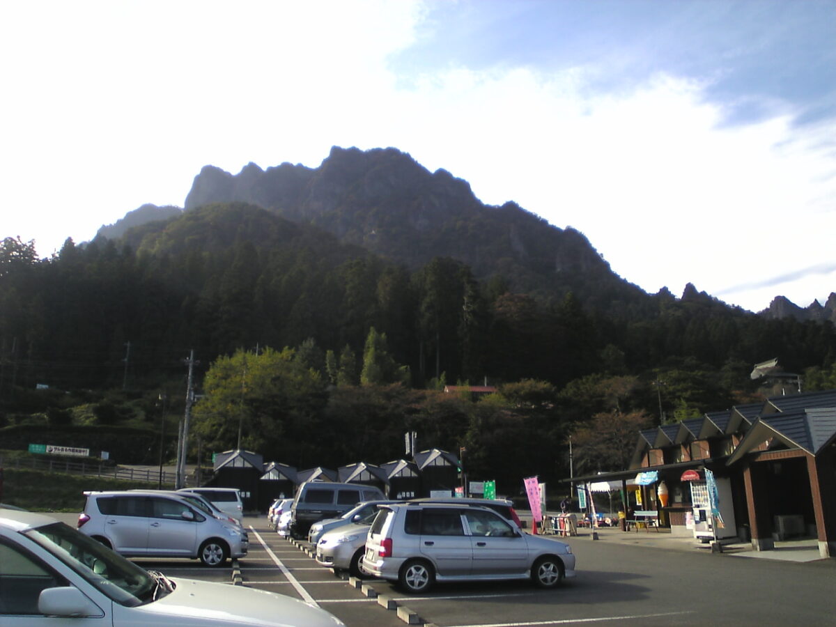
Mount Myōgi, on the border of Annaka, Shimonita and Tomioka in Gunma, is known for its steep rock formations and is counted among Japan's three most celebrated rugged landscapes. It has many hiking routes and draws visitors in the autumn colour season; its highest point is Sōmadake, 1,104 m. It has been a Place of Scenic Beauty since 1923, and with Mount Akagi and Mount Haruna it is one of the “Three Mountains of Jōmō”, Jōmō being an old name for Gunma — it even appears on the “mo” card of Jōmō Karuta.
Usui Pass Railway Heritage Park is about 4.4 km away. The rock routes are steep; we have not checked trails or conditions, so check local information and the weather before you go.
Written by japan-spots.com (2026-09-22) from the sources credited on this page. Distances are straight lines between map positions.
Photos
Photos from Wikimedia Commons, each under its own licence — see credits
- Mt. Myogi 3 — Yones · Public domain · source · resized
- 相馬岳から見た金洞山(鷹戻し) — Koda6029 · CC BY-SA 4.0 · source · resized
- 玉石付近から見下ろした大の字 — Koda6029 · CC BY-SA 4.0 · source · resized
- 玉石からの浅間山と裏妙義 — Koda6029 · CC BY-SA 4.0 · source · resized
- 奥の院と鎖場 — Koda6029 · CC BY-SA 4.0 · source · resized
- 大の字とパラグライダー — Koda6029 · CC BY-SA 4.0 · source · resized
- ビビリ岩の鎖場 — Koda6029 · CC BY-SA 4.0 · source · resized
- ビビリ岩からの浅間山と裏妙義 — Koda6029 · CC BY-SA 4.0 · source · resized
- さくらの里と筆頭岩 — Koda6029 · CC BY-SA 4.0 · source · resized
- Myogi Furusato Art Museum 2 — photo: Qurren ( talk ) Taken with Canon IXY 430F (Digital IXUS 245 HS) · CC BY-SA 3.0 · source · resized
What this place is
Mount Myōgi (妙義山, Myōgi-san) is one of the major mountains in Gunma Prefecture, Japan. Its straddles the border between the municipalities of Annaka, Shimonita and Tomioka. Known for its steep, rocky formations, Mount Myōgi is considered one of Japan's three most noted rugged, scenic locations. The area includes many hiking routes, and the scene attracts visitors during the autumn foliage season. The highest point is the peak of the Mt. Sōmadake (相馬岳) reaching 1,104 metres (3,622 ft). It is also a National Place of Scenic Beauty as determined by the Agency for Cultural Affairs in Japan in 1923. Mount Myōgi, along with Mount Akagi and Mount Haruna, is one of the "Three Mountains of Jōmō". (Jōmō is an old name for Gunma.). It is also featured on the 'mo' card in Jomo Karuta.
Background text from Wikipedia (CC BY-SA 4.0)
What to expect at this type of place: Mountain
Getting there
We do not have step-by-step transit directions for this spot yet. Open the location on Google Maps for routes from where you are staying.
Traveler reviews
No reviews yet — be the first to share how it went.