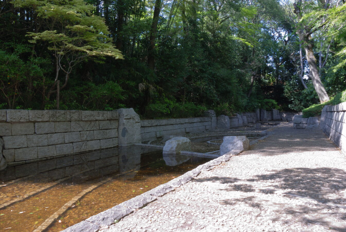
Opening hours and admission for this place have not been checked yet, so none are shown. Check the official site
Our guide
Koga Castle stood in Koga, Ibaraki. In the Muromachi period Koga was the seat of the Kantō kubō of the Ashikaga clan. In the Edo period the castle was the administrative centre of the Koga Domain, held by many fudai daimyō clans, longest of all by the Doi clan (1633–1681 and 1762–1871).
Shin-Koga Station on the Tōbu Nikkō Line is about 1 km away in a straight line. We have not checked what can be seen on the site today.
Written by japan-spots.com (2026-09-22) from the sources credited on this page. Distances are straight lines between map positions.
Photos
Photos from Wikimedia Commons, each under its own licence — see credits
- Koga castle suwakuruwa dorui hori — by Monado · CC BY-SA 2.5 · source · resized
- 古河城跡・桜町曲輪跡堤防上から三国橋と渡良瀬川 — 冬扇 · CC BY-SA 4.0 · source · resized
- 古河城跡・本丸跡碑周辺 — 冬扇 · CC BY-SA 4.0 · source · resized
- 古河城跡・本丸跡碑 — 冬扇 · CC BY-SA 4.0 · source · resized
- 古河城跡・本丸跡河川敷 — 冬扇 · CC BY-SA 4.0 · source · resized
- 古河城跡 獅子崎土塁(北) — 冬扇 · CC BY-SA 4.0 · source · resized
- Koga castle sakuramachikuruwa dorui — by Monado · CC BY-SA 2.5 · source · resized
- Koga castle kannonjikuruwa dorui — by Monado · CC BY-SA 2.5 · source · resized
- 古河市 古河城址 桜門跡 — 冬扇 · CC BY-SA 4.0 · source · resized
What this place is
Koga Castle (古河城, Koga-jō) was a Japanese castle located in Koga, Ibaraki Prefecture, Japan. During the Muromachi period, Koga was the seat of the Kantō kubō, under the Ashikaga clan. At the end of the Edo period, Koga Castle was the administrative center of Koga Domain, which was held by a large number of fudai daimyō clans, spending the longest time under the control of the Doi clan (1633-1681, 1762–1871).
Background text from Wikipedia (CC BY-SA 4.0)
What to expect at this type of place: Castle
Nearby station
Nearby station: Shin-Koga (Tōbu Nikkō Line), about 1.0 km from the spot in a straight line.
Worked out on 2026-09-14 from this place’s map position, using HeartRails Express station data and station names from Wikidata. The distance is a straight line, not a walking route, and says nothing about buses, transfers or timetables — plan the trip on Google Maps.
Traveler reviews
No reviews yet — be the first to share how it went.