Usual hours and prices, checked 2026-10-04 against the sources under “What this place is”. They can change for holidays and events — confirm before you go. Official site
Our guide
Iwami Ginzan, in the city of Ōda, was the largest silver mine in Japanese history. It was worked underground for almost four hundred years, from its discovery in 1526 until it closed in 1923. The mines, the mining structures and the landscape around them became a UNESCO World Heritage Site in 2007, as “Iwami Ginzan Silver Mine and its Cultural Landscape”.
We have not checked opening arrangements or a public-transport route, so check local information and plan the journey on the map before you go.
Written by japan-spots.com (2026-09-22) from the sources credited on this page. Distances are straight lines between map positions.
Photos
Photos from Wikimedia Commons, each under its own licence — see credits
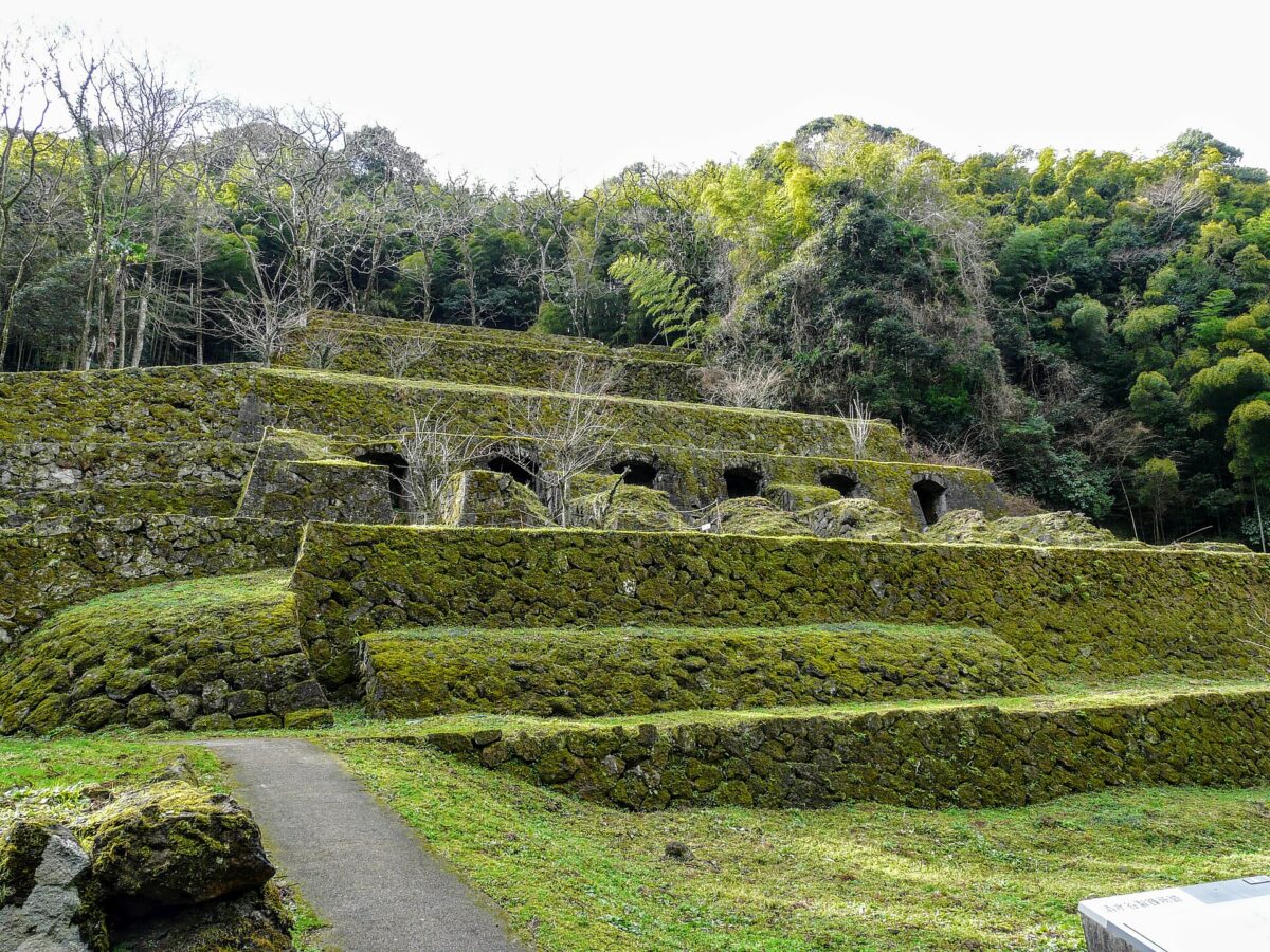
- Shimizudani Refinery Ruins at Iwami Ginzan Silver Mine 001 — Naokijp · CC BY-SA 4.0 · source · resized
- Omori Old Street 002 — Naokijp · CC BY-SA 4.0 · source · resized
- Omori Old Street 001 — Naokijp · CC BY-SA 4.0 · source · resized
- Japan's first mask (miner use) in Iwami Ginzan Silver Mine 03 — Indiana jo · CC BY-SA 4.0 · source · resized
- Iwami Silver Mine Ryugenji Tunnel 001 — Naokijp · CC BY-SA 4.0 · source · resized
- 180505 Yunotsu of Iwami Ginzan Silver Mine Oda Shimane pref Japan01s5 — 663highland · CC BY-SA 4.0 · source · resized
- 180505 Iwami Ginzan Silver Mine Museum Oda Shimane pref Japan01s3 — 663highland · CC BY-SA 4.0 · source · resized
- 180505 House of the Kumagai Family Oda Shimane pref Japan01o — 663highland · CC BY-SA 4.0 · source · resized
- 180504 Shimogawara Smelting Ruins of Iwami Ginzan Silver Mine Oda Shimane pref Japan01s5 — 663highland · CC BY-SA 4.0 · source · resized
- 180504 Rakan-ji of Iwami Ginzan Silver Mine Oda Shimane pref Japan01o — 663highland · CC BY-SA 4.0 · source · resized
What this place is
The Iwami Ginzan (石見銀山) was an underground silver mine in the city of Ōda, in Shimane Prefecture on the main island of Honshu, Japan. It was the largest silver mine in Japanese history. It was active for almost four hundred years, from its discovery in 1526 to its closing in 1923. The mines, mining structures, and surrounding cultural landscape — listed as the "Iwami Ginzan Silver Mine and its Cultural Landscape" — became a UNESCO World Heritage Site in 2007.
Visitor information checked: 2026-10-04 · Official visiting information
Background text from Wikipedia (CC BY-SA 4.0)
What to expect at this type of place: History
Getting there
We do not have step-by-step transit directions for this spot yet. Open the location on Google Maps for routes from where you are staying.
Traveler reviews
No reviews yet — be the first to share how it went.