Opening hours and admission for this place have not been checked yet, so none are shown. Check the official site
Our guide
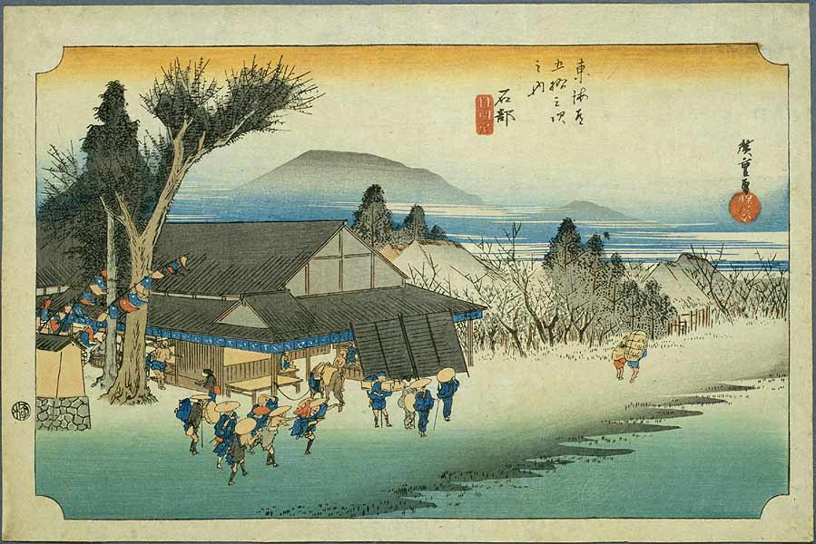
Ishibe-juku was the 51st of the 53 stations of the Tōkaidō, the Edo-period highway between Edo and Kyoto; the next station was Kusatsu-juku. It lies in the present-day city of Konan, Shiga.
Ishibe Station on the Kusatsu Line is about 850 m away in a straight line, and Mount Mikami about 4.7 km.
Written by japan-spots.com (2026-09-22) from the sources credited on this page. Distances are straight lines between map positions.
Photos
Photos from Wikimedia Commons, each under its own licence — see credits
- Tokaido51 Ishibe — Utagawa Hiroshige · Public domain · source · resized
- Dengaku-tyaya01s3200 — 663highland · CC BY 2.5 · source · resized
- Dengaku-tyaya02s3200 — 663highland · CC BY 2.5 · source · resized
- Ishibeshuku museum02s3200 — 663highland · CC BY 2.5 · source · resized
- Ishibe (5759539434) — Utagawa Hiroshige · Public domain · source · resized
- 東海道五十三次 石部 — Utagawa Hiroshige · CC0 · source · resized
- Ishibe Gyosho Tokaido — Utagawa Hiroshige · Public domain · source · resized
- Ishibe Reisho Tokaido — Utagawa Hiroshige · Public domain · source · resized
- 東海道五十三次 石部 — Utagawa Hiroshige · CC0 · source · resized
What this place is
Ishibe-juku (石部宿) was the fifty-first of the fifty-three stations of the Tōkaidō highway connecting Edo with Kyoto in Edo period Japan. It was located in the present-day city of Konan, Shiga Prefecture, Japan.
Background text from Wikipedia (CC BY-SA 4.0)
What to expect at this type of place: History
Nearby station
Nearby station: Ishibe (Kusatsu Line), about 850 m from the spot in a straight line.
Worked out on 2026-09-14 from this place’s map position, using HeartRails Express station data and station names from Wikidata. The distance is a straight line, not a walking route, and says nothing about buses, transfers or timetables — plan the trip on Google Maps.
Traveler reviews
No reviews yet — be the first to share how it went.