Ibusuki Hashimuregawa Site
橋牟礼川遺跡
Opening hours and admission for this place have not been checked yet, so none are shown. Check the official site
Our guide
The Ibusuki Hashimuregawa Site, in the Jūni-chō area of the city of Ibusuki, Kagoshima, is an archaeological site with remains from the Jōmon and Yayoi periods. It became a National Historic Site in 1924 as the Ibusuki Site; in 1996 the protected area was enlarged and given its present name. It is famous as the site that first made the relationship between the Jōmon and Yayoi periods clear to scholars.
Ibusuki Station is about 850 m away in a straight line, and Ibusuki Sand Bath about 1.2 km.
Written by japan-spots.com (2026-09-22) from the sources credited on this page. Distances are straight lines between map positions.
Photos
Photos from Wikimedia Commons, each under its own licence — see credits
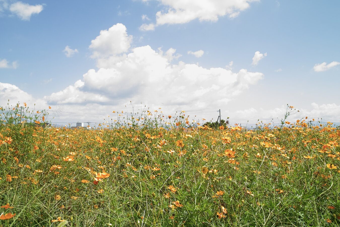
- 橋牟礼川遺跡 - panoramio — shikabane taro · CC BY 3.0 · source · resized
- 橋牟礼川公園 1号住居 — あじさか · CC BY-SA 4.0 · source · resized
- 橋牟礼川公園 2号住居 — あじさか · CC BY-SA 4.0 · source · resized
- 橋牟礼川公園 3号住居 — あじさか · CC BY-SA 4.0 · source · resized
- 橋牟礼川公園 4号住居 — Konosaba · CC BY-SA 4.0 · source · resized
What this place is
The Ibusuki Hashimuregawa Site (指宿橋牟礼川遺跡, Ibusuki Hashimuregawa iseki) is a complex archaeological site with traces from the Jōmon and Yayoi Periods, located in the Junicho neighborhood of the city of Ibusuki, Kagoshima Prefecture Japan. It was designated a National Historic Site of Japan in 1924 under the name Ibusuki Site (指宿遺跡), but the area under protection was expanded in 1996 and the name changed to its present name. It is famous as the site that first academically clarified the relationship between the Jōmon and Yayoi periods, which had not been clear until then.
Background text from Wikipedia (CC BY-SA 4.0)
What to expect at this type of place: History
Nearby station
Nearby station: Ibusuki (Ibusuki Makurazaki Line), about 850 m from the spot in a straight line.
Worked out on 2026-09-14 from this place’s map position, using HeartRails Express station data and station names from Wikidata. The distance is a straight line, not a walking route, and says nothing about buses, transfers or timetables — plan the trip on Google Maps.
Traveler reviews
No reviews yet — be the first to share how it went.