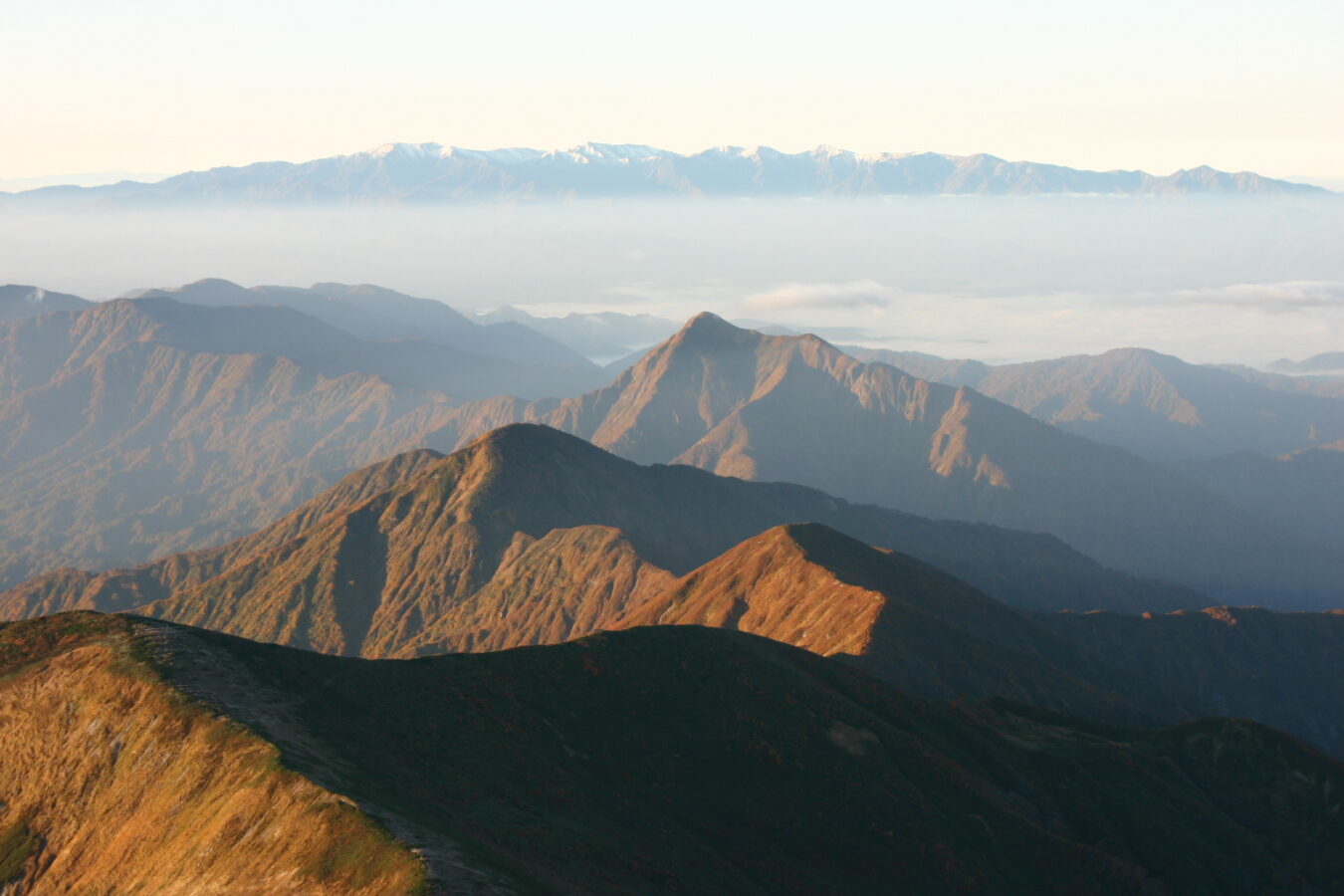
Bandai-Asahi National Park
磐梯朝日国立公園
Opening hours and admission for this place have not been checked yet, so none are shown. Check the official site
Our guide
Bandai-Asahi National Park straddles Fukushima, Yamagata and Niigata in the Tōhoku region and was designated on 5 September 1950. At 186,404 hectares it is the third-largest national park in Japan, made up of three separate units: the Dewa Sanzan–Asahi area, the Iide area and the Bandai-Azuma–Inawashiro area.
Because the park is so large and split into parts, choose the area you want to visit and plan from there. We have not checked routes or conditions.
Written by japan-spots.com (2026-09-22) from the sources credited on this page. Distances are straight lines between map positions.
Photos
Photos from Wikimedia Commons, each under its own licence — see credits
- Mt OHASAHI 3 — Highten31 · CC BY-SA 3.0 · source · resized
- Mt. Syougen-san — Qwert1234 · CC BY-SA 3.0 · source · resized
- Mt. Nakaazuma-yama2 — Qwert1234 · CC BY-SA 3.0 · source · resized
- Mt. Nakaazuma-yama — Qwert1234 · CC BY-SA 3.0 · source · resized
- Mt. Higashi-azuma — Qwert1234 · CC BY-SA 4.0 · source · resized
- Mt. Eburisashidake — Amadeus0220 · CC BY-SA 3.0 · source · resized
- Mt.Bandai from Lake Inawashiro 01 — Σ64 · CC BY 3.0 · source · resized
- Mount Azuma-kofuji-1, May 2007 — Brian Adler ( BrianAdler ) · Public domain · source · resized
- Mount Adatara seen from the SE — Ski Mania · Public domain · source · resized
- Lake Hibara-ko2 — Qwert1234 · Public domain · source · resized
What this place is
Bandai-Asahi National Park (磐梯朝日国立公園, Bandai Asahi Kokuritsu Kōen) is a national park in the Tōhoku region, Honshū, Japan. The park site straddles Fukushima Prefecture, Yamagata Prefecture, and Niigata Prefecture and was designated as a national park on September 5, 1950. The park encompasses 186,404 ha of land (making it the third- largest national park in Japan), consisting of three independent units: the Dewasanzan-asahi Region, Iide Region, and Bandaiazuma-Inawashiro Region.
Background text from Wikipedia (CC BY-SA 4.0)
What to expect at this type of place: National park
Getting there
We do not have step-by-step transit directions for this spot yet. Open the location on Google Maps for routes from where you are staying.
Traveler reviews
No reviews yet — be the first to share how it went.