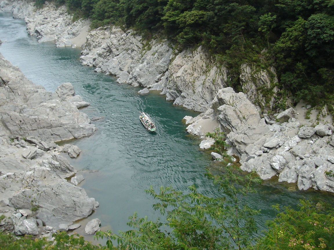
Oboke Koboke Gorge cruise
大歩危
Opening hours and admission for this place have not been checked yet, so none are shown. Check the official site
Our guide
Ōboke is a gorge on the middle reaches of the Yoshino River, cut as the river held its course while the mountains rose around it. Our source says little more than that, so this page is short.
Ōboke Station on the Dosan Line is about 1.3 km from the point this page is mapped to, in a straight line. We have not checked boat trips, their season or fares, so look for local information before you go.
Written by japan-spots.com (2026-09-22) from the sources credited on this page. Distances are straight lines between map positions.
Photos
Photos from Wikimedia Commons, each under its own licence — see credits
- ObokeKeikoku — +- · CC BY-SA 3.0 · source · resized
- JRS ōboke sta — Mitsuki-2368 · CC BY-SA 3.0 · source · resized
- JRS ōboke sta enclosure — Mitsuki-2368 ( talk ) · CC BY-SA 3.0 · source · resized
- Michinoeki Oboke 01 — Lunatic_artemis(uploader) · Public domain · source · resized
- Ōboke Valley 01 — さや from Japan. · CC BY-SA 2.1 jp · source · resized
- ObokeAndKobokeValleys — Ippukucho · CC BY 3.0 · source · resized
- Oboke gorge pleasure boat 2106 August 13.B — さかおり · CC BY-SA 4.0 · source · resized
- 大歩危 - panoramio — certified · CC BY 3.0 · source · resized
- 大歩危駅 (2383215500) — Travis Rigel Lukas Hornung · CC BY 2.0 · source · resized
- 大歩危駅 (16037350233) — Mathias Erhart · CC BY-SA 2.0 · source · resized
What this place is
Ōboke (大歩危) is a gorge on the middle reaches of the Yoshino River, cut as the river kept its course through rising mountains.
Background text translated from Japanese Wikipedia (CC BY-SA 4.0)
What to expect at this type of place: Lakes & falls
Nearby station
Nearby station: Ōboke (Dosan Line), about 1.3 km from the spot in a straight line.
Worked out on 2026-09-14 from this place’s map position, using HeartRails Express station data and station names from Wikidata. The distance is a straight line, not a walking route, and says nothing about buses, transfers or timetables — plan the trip on Google Maps.
Traveler reviews
No reviews yet — be the first to share how it went.