Opening hours and admission for this place have not been checked yet, so none are shown. Check the official site
Our guide
The Nagatoro Gorge, in the Chichibu area of Saitama, was cut where the Arakawa River crosses the mountains. It is known for its broad, flat rock terraces, the Iwadatami, and for the Chichibu Red Cliffs. It became a Place of Scenic Beauty and Natural Monument in 1924 and is part of Nagatoro-Tamayodo Prefectural Natural Park.
The finest stretch is about 4 km long, and river boats run through it: 3 km from Oyahana Bridge to the Iwadatami, and 3 km more on to Takasago Bridge. Nagatoro Station on the Chichibu Main Line is about 600 m away in a straight line. We have not checked the boats' season or fares.
Written by japan-spots.com (2026-09-22) from the sources credited on this page. Distances are straight lines between map positions.
Photos
Photos from Wikimedia Commons, each under its own licence — see credits
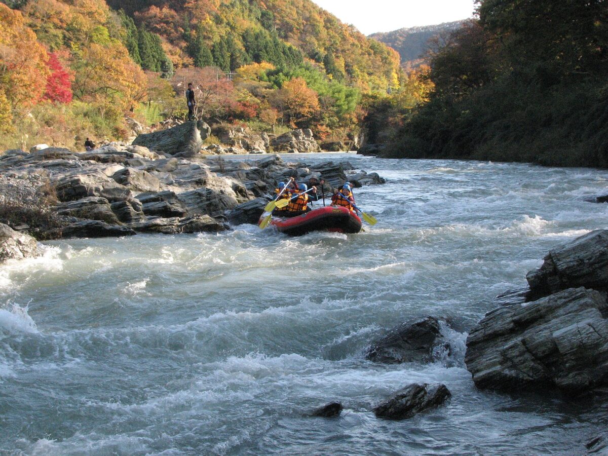
- 長瀞ラフティング - panoramio — y_a_s_u_ · CC BY-SA 3.0 · source · resized
- Toraiwa in Nagatoro Town Saitama Close up — Osumi Akari · CC BY-SA 4.0 · source · resized
- 20191127 埼玉県秩父市長瀞渓谷1 — WFan · CC BY-SA 4.0 · source · resized
- 20191127 埼玉県秩父市長瀞渓谷4 — WFan · CC BY-SA 4.0 · source · resized
What this place is
The Nagatoro Gorge (長瀞渓谷) is a gorge in the Chichibu area of Saitama Prefecture, cut where the Arakawa River crosses the mountains, and known for its flat rock terraces (Iwadatami) and the Chichibu Red Cliffs. It was designated a national Place of Scenic Beauty and Natural Monument in 1924 and is part of Nagatoro-Tamayodo Prefectural Natural Park. The most scenic stretch is about 4 km long; the river boats run 3 km from Oyahana Bridge to Iwadatami and 3 km more to Takasago Bridge.
Background text translated from Japanese Wikipedia (CC BY-SA 4.0)
What to expect at this type of place: Landmark
Nearby station
Nearby station: Nagatoro (Chichibu Main Line), about 600 m from the spot in a straight line.
Worked out on 2026-09-14 from this place’s map position, using HeartRails Express station data and station names from Wikidata. The distance is a straight line, not a walking route, and says nothing about buses, transfers or timetables — plan the trip on Google Maps.
Traveler reviews
No reviews yet — be the first to share how it went.