Daisen-Oki National Park
大山隠岐国立公園
Opening hours and admission for this place have not been checked yet, so none are shown. Check the official site
Our guide
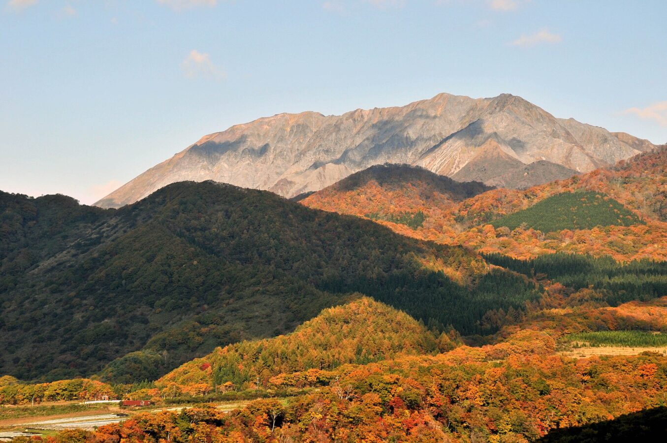
Daisen-Oki National Park spans Okayama, Shimane and Tottori in the Chūgoku region. Its centrepiece is Mount Daisen, and it also takes in the volcanic mountains and plains of Hiruzen, Mount Kenashi, Mt. Sanbe and Mount Hōbutsu, the Izumo Plain with Izumo Taisha, and the Oki Islands. It was founded in 1936 as Daisen National Park and was enlarged and renamed in 1961 to include the Oki Islands and parts of Shimane.
The park is spread out, so choose the area you want to visit and plan from there; we have not checked routes or conditions.
Written by japan-spots.com (2026-09-22) from the sources credited on this page. Distances are straight lines between map positions.
Photos
Photos from Wikimedia Commons, each under its own licence — see credits
- Daisen in Autumn — Reggaeman · CC BY-SA 3.0 · source · resized
- Sanbe201402 — メルビル · CC BY-SA 4.0 · source · resized
- Daisen highest peak — Mass Ave 975 at English Wikipedia · CC BY-SA 3.0 · source · resized
- Cape Hinomisaki Izumo07bs4592 — 663highland · CC BY 2.5 · source · resized
- Mt Daisen Full View — Vickerman625 at English Wikipedia · Public domain · source · resized
- Autumnus coloribus - panoramio — warabi hatogaya · CC BY 3.0 · source · resized
- 権現島(日本島根県出雲市大社町宇龍) — 土手 · WTFPL · source · resized
- 木谷沢渓流 鳥取県日野郡江府町 Jul 29, 2017 — mstk east · CC BY 2.0 · source · resized
What this place is
Daisen-Oki National Park (大山隠岐国立公園, Daisen Oki Kokuritsu Kōen) is a national park in the Chūgoku region, Honshū, Japan, and spans the prefectures of Okayama, Shimane, and Tottori. Mount Daisen is the focus of the park, which also includes the volcanic mountains and plains of Hiruzen, Mount Kenashi, Mount Sanbe, and Mount Hōbutsu. The Izumo Plain region of the park is home to the oldest Shinto shrine in Japan, the Izumo-taisha. The Oki Islands are also an important component of the park. The park was established in 1936 as Daisen National Park (大山国立公園, Daisen Oki Kokuritsu Kōen), but was expanded and renamed in 1961 to include the Oki Islands and Shimane Prefecture areas.
Background text from Wikipedia (CC BY-SA 4.0)
What to expect at this type of place: National park
Getting there
We do not have step-by-step transit directions for this spot yet. Open the location on Google Maps for routes from where you are staying.
Traveler reviews
No reviews yet — be the first to share how it went.