Opening hours and admission for this place have not been checked yet, so none are shown. Check the official site
Our guide
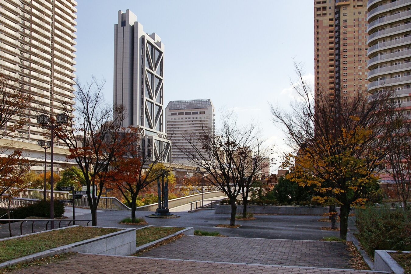
Rokkō Island is a man-made island in the south-east of the Port of Kobe, in Higashinada Ward. It is a rectangle about 3.4 km by 2 km, covering 5.80 km². A residential area in the middle is separated from the industrial and port zones by a green belt, and international schools on the island serve students from abroad, along with foreign condominiums built when Procter & Gamble's Asian headquarters were nearby.
Island Center Station is about 50 m from the point this page is mapped to, and Nada sake breweries about 2.5 km.
Written by japan-spots.com (2026-09-22) from the sources credited on this page. Distances are straight lines between map positions.
Photos
Photos from Wikimedia Commons, each under its own licence — see credits
- Rokko island01s3200 — 663highland · CC BY 2.5 · source · resized
- Rokko Passenger Ship Terminal07n3872 — 663highland · CC BY 2.5 · source · resized
- Rokko-Island ja01 — Miya.m · CC BY-SA 3.0 · source · resized
- River mall01s3200 — 663highland · CC BY 2.5 · source · resized
- Kobe fashion museum03bs3200 — Own work · CC BY 2.5 · source · resized
- Kobe fashion mart03 — 663highland · CC BY-SA 3.0 · source · resized
- Kobe city koiso memorial museum of art06s3200 — 663highland · CC BY 2.5 · source · resized
- Kobe city koiso memorial museum of art03s3200 — 663highland · CC BY 2.5 · source · resized
- Kobe Rokko Island Ferry Terminal12s3872 — 663highland · CC BY 2.5 · source · resized
- 2023-04-05 Ferry Settsu JAPAN(Hankyu Ferry)&Sunflower Gold、Rokko Island Ferry Terminal、六甲アイランドに停泊中の阪九フェリー「フェリーせっつ」と「さんふらわあごーるど」DJI 0804 — 松岡明芳 · CC BY-SA 4.0 · source · resized
What this place is
Rokkō Island (六甲アイランド, Rokkō Airando) is a man-made island in Higashinada-ku, Kobe, Hyōgo, Japan. Located in the southeast region of the Port of Kobe, the island has a 3.4 km × 2 km (2.1 mi × 1.2 mi) rectangular shape and covers 5.80 km2 (2.24 sq mi). The island's central region features a residential area, separated from the industrial and port zones by a green belt. International schools on the island serve students from abroad, alongside certain exclusive foreign condominiums built when Procter & Gamble's Asia headquarters were in the vicinity.
Background text from Wikipedia (CC BY-SA 4.0)
What to expect at this type of place: Cityscape
Nearby station
Nearby station: Island Center, about 50 m from the spot in a straight line.
Worked out on 2026-09-14 from this place’s map position, using HeartRails Express station data and station names from Wikidata. The distance is a straight line, not a walking route, and says nothing about buses, transfers or timetables — plan the trip on Google Maps.
Traveler reviews
No reviews yet — be the first to share how it went.