Opening hours and admission for this place have not been checked yet, so none are shown. Check the official site
Our guide
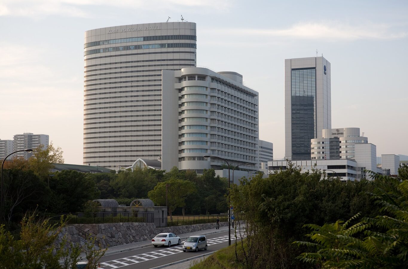
Port Island is an artificial island in the Port of Kobe, in Chūō Ward, built in two phases — 1966 to 1980 and 1987 to 2009 — and opened with the “Portopia '81” exposition. It now has a heliport, many hotels, a large convention centre, the UCC Coffee Museum, Japan's third IKEA store and several parks. The Port Liner automated transit links it with Sannomiya Station and Kobe Airport.
Shimin Hiroba Station on the Port Liner is about 50 m from the point this page is mapped to. Kobe Port Tower is about 3.1 km off and Sannomiya about 3.6 km.
Written by japan-spots.com (2026-09-22) from the sources credited on this page. Distances are straight lines between map positions.
Photos
Photos from Wikimedia Commons, each under its own licence — see credits
- Kobe Port Island Evening View — Laitr Keiows · CC BY-SA 3.0 · source · resized
- Fountain at Port Island (Kobe, Japan) — Laitr Keiows · CC BY-SA 3.0 · source · resized
- Port Island Nakakoen Bronze statue — Mihimaru Vista · CC BY-SA 3.0 · source · resized
- Port Island Nakakoen — Mihimaru Vista · CC BY-SA 3.0 · source · resized
What this place is
Port Island (ポートアイランド, Pōto Airando) is an artificial island in Chuo-ku, Kobe, Japan. It was constructed between 1966 and 1980 (Phase 1) and between 1987 and 2009 (Phase 2) at the Port of Kobe, and officially opened with an exposition called "Portopia '81." It now houses a heliport, numerous hotels, a large convention center, the UCC Coffee Museum, Japan's third IKEA store, and several parks. The Port Liner automated guideway transit system connects Port Island to Sannomiya Station and to Kobe Airport.
Background text from Wikipedia (CC BY-SA 4.0)
What to expect at this type of place: Cityscape
Nearby station
Nearby station: Shimin Hiroba (Port Island Line), about 50 m from the spot in a straight line.
Worked out on 2026-09-14 from this place’s map position, using HeartRails Express station data and station names from Wikidata. The distance is a straight line, not a walking route, and says nothing about buses, transfers or timetables — plan the trip on Google Maps.
Traveler reviews
No reviews yet — be the first to share how it went.