Usual hours and prices, checked 2026-10-06 against the sources under “What this place is”. They can change for holidays and events — confirm before you go. Official site
Our guide
Tokushima Central Park is laid out on Shiroyama hill and the grounds of Tokushima Castle around it. It opened in 1906 and was formerly called Tokushima Park.
Tokushima Station is only about 350 m away in a straight line, and Awa Odori Kaikan about 1.1 km.
Written by japan-spots.com (2026-09-22) from the sources credited on this page. Distances are straight lines between map positions.
Photos
Photos from Wikimedia Commons, each under its own licence — see credits
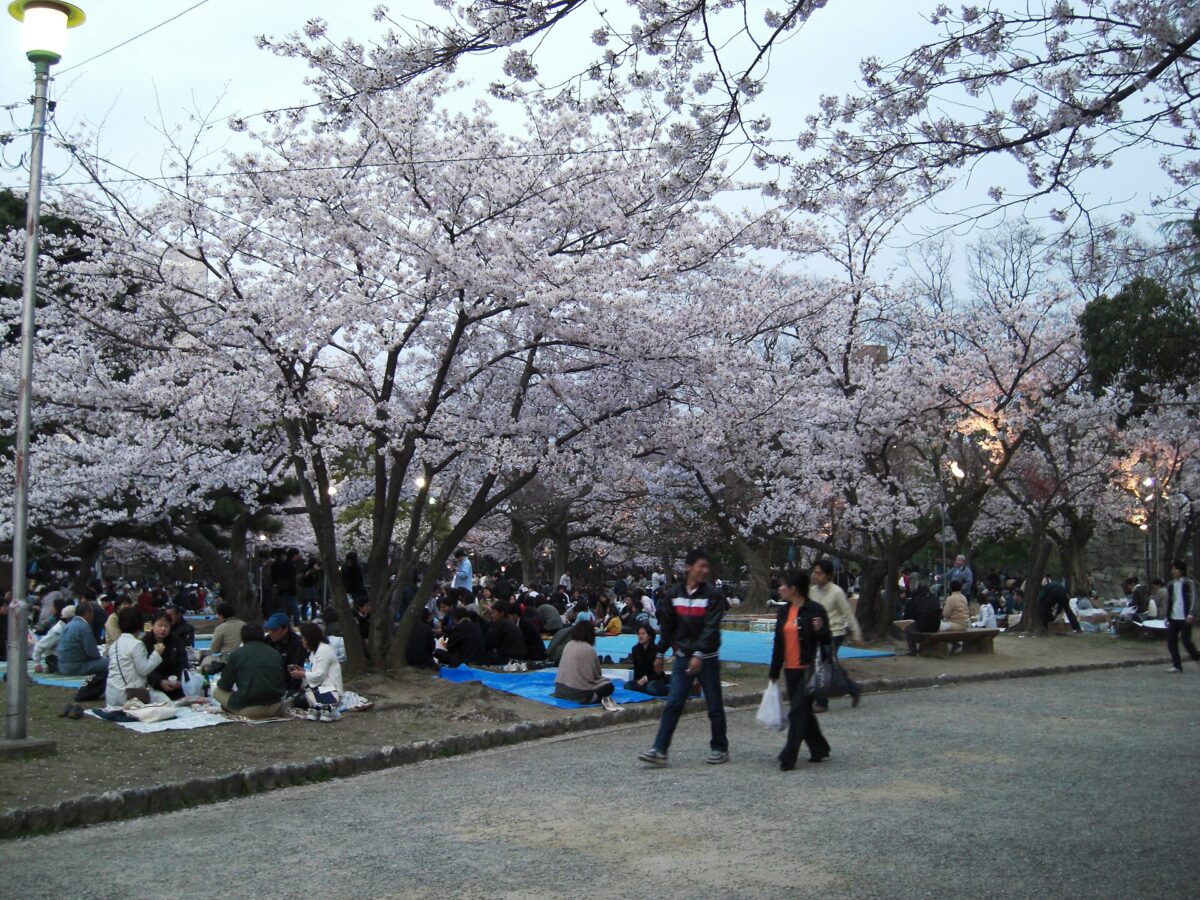
- Tokushima Central park — Sorrysorry · Public domain · source · resized
- Washinomon Gate of Tokushima Castle from inner side — そらみみ (Soramimi) · CC BY-SA 4.0 · source · resized
- Tokushima prefectural chuo-budokan02s3200 — 663highland · CC BY-SA 4.0 · source · resized
- Tokushima castle museum02s3872 — 663highland · CC BY 2.5 · source · resized
- Tokushima castle 22 — by Reggaeman · CC BY-SA 3.0 · source · resized
- Tokushima Castle lordly Front Palace Garden01s3200 — 663highland · CC BY 2.5 · source · resized
- Suketo river03s3200 — 663highland · CC BY 2.5 · source · resized
- Washinomon Gate of Tokushima Castle — そらみみ · CC BY-SA 4.0 · source · resized
- Tokushima Central Park 20160504-1 — そらみみ (Soramimi) · CC BY-SA 4.0 · source · resized
- Tokushima Central Park 20160504-3 — そらみみ (Soramimi) · CC BY-SA 4.0 · source · resized
What this place is
Tokushima Central Park (徳島中央公園) is a park in Tokushima, Tokushima Prefecture, laid out on Shiroyama hill and the grounds of Tokushima Castle around it. It opened in 1906 and was formerly known as Tokushima Park.
Visitor information checked: 2026-10-06 · Official visitor information
Background text translated from Japanese Wikipedia (CC BY-SA 4.0)
What to expect at this type of place: Castle
Nearby station
Nearby station: Tokushima (Mugi Line), about 350 m from the spot in a straight line.
Worked out on 2026-09-14 from this place’s map position, using HeartRails Express station data and station names from Wikidata. The distance is a straight line, not a walking route, and says nothing about buses, transfers or timetables — plan the trip on Google Maps.
Traveler reviews
No reviews yet — be the first to share how it went.